
Written by Ceezaer Drone Services
Official publication of ceezaer.com — Veteran-Owned · FAA Part 107 · Round Rock, TX
Official publication of ceezaer.com — Veteran-Owned · FAA Part 107 · Round Rock, TX
Construction theft drains an estimated $1 billion or more from U.S. job sites every year, and insurers recover only a fraction of stolen equipment. Scheduled drone flights create a timestamped visual record that deters intruders, documents vandalism, and backs up every claim. Here is how Central Texas contractors are putting aerial documentation to work.
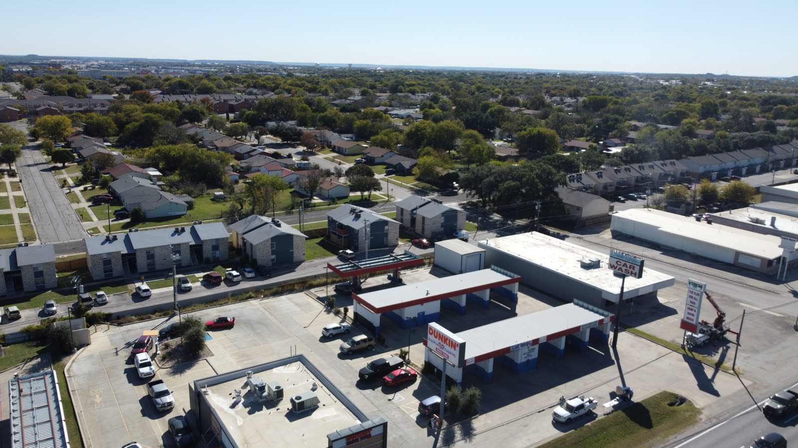
Open sites, expensive materials, and predictable schedules make construction one of the most frequently targeted industries for theft and vandalism.
A typical mid-size commercial project in the Austin metro stores hundreds of thousands of dollars in copper wire, HVAC units, generators, lumber, rebar, and small tools across an open footprint. Most of that inventory sits unattended from 6 p.m. Friday until 7 a.m. Monday. Thieves know the pattern, and they know that a chain-link fence and a padlock rarely slow them down.
The financial damage goes far beyond the replacement cost of a stolen skid steer. Industry data consistently shows that only about a quarter of stolen equipment is ever recovered, and the real losses compound: project delays while you re-order long-lead items, rental costs for replacement machines, higher insurance premiums after a claim, and idle crews waiting on materials. The National Equipment Register and the National Insurance Crime Bureau have tracked these losses for years, and the numbers keep climbing as copper and material prices rise.
The core issue for most contractors is not that theft happens. It is that they cannot prove what was on site, when it disappeared, or what condition the site was in before an incident. Insurance adjusters need evidence. Police need timelines. Without reliable documentation, construction site security becomes a matter of your word against a claim denial.
A recurring aerial record turns a vulnerable, open site into a documented asset with a verifiable history.
Scheduled drone flights work differently from fixed security cameras. Rather than covering a few static angles, a drone captures the entire site from above on a repeatable flight path, producing consistent, timestamped imagery that shows exactly what was present and where. Flown on a set cadence, these flights build a chronological archive that makes gaps and losses immediately obvious.
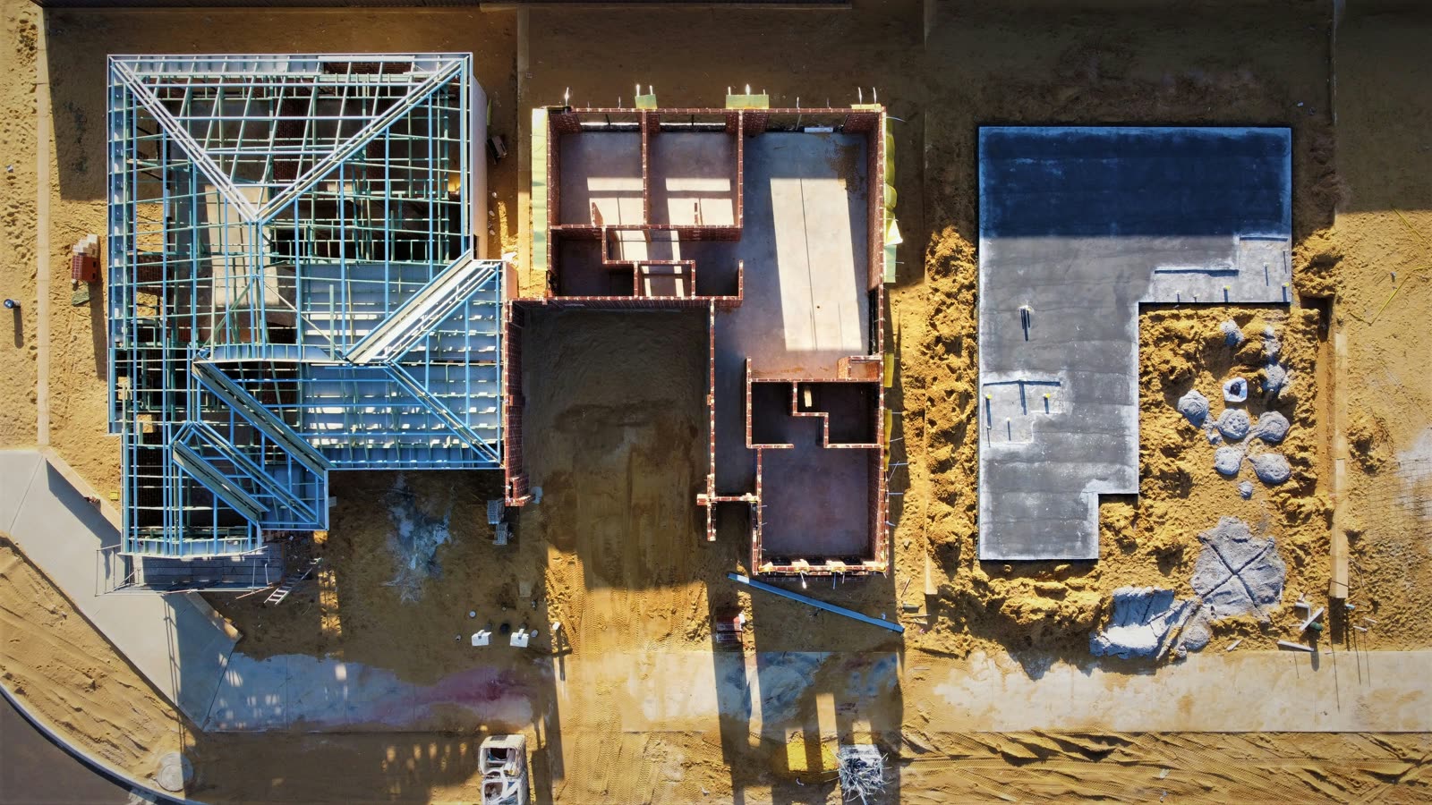
A single flight documents the entire footprint, including staging areas, equipment yards, material laydown zones, and perimeter fencing that ground cameras miss.
Every image carries date, time, and GPS metadata, giving adjusters and law enforcement a defensible timeline of what existed before and after an incident.
Regular flights establish a visual inventory of equipment and materials, so you can prove a generator or stack of pipe was on site the day before it vanished.
Posted notice of aerial monitoring and visible flight activity signals that the site is documented, which discourages opportunistic theft and trespassing.
High-resolution imagery captures graffiti, damaged forms, cut fencing, and tampered equipment at a detail level sufficient for claims and reports.
The same flights that document theft also track construction progress, so a single service covers two needs without doubling your spend.
For Central Texas contractors, the combination is efficient. A FAA Part 107 certified pilot can cover a multi-acre site in a single visit, and the resulting imagery serves both the superintendent reviewing progress and the risk manager building a security record.
Effective security documentation is about cadence and consistency, not occasional one-off flights.
The first flight captures the full site at a known date, documenting fencing, access points, equipment, and material stockpiles. This becomes the reference point against which all later imagery is compared.
Weekly flights fit most commercial projects, with additional flights scheduled before long weekends and holidays when theft risk spikes. High-value material deliveries can trigger an extra flight.
Repeating the same altitude, angles, and waypoints makes it easy to compare images side by side and spot what changed between visits. Automated flight planning keeps this precise.
Overview orthomosaics show the whole site, while lower-altitude oblique shots document serial numbers, equipment condition, and perimeter vulnerabilities at usable resolution.
Imagery is stored with intact metadata and organized chronologically. When an incident occurs, the before-and-after pair is pulled in minutes rather than reconstructed from memory.
When theft or vandalism is reported, an immediate documentation flight captures the current state before cleanup, preserving evidence for the claim and any police report.
Ceezaer builds recurring flight schedules around each project's risk profile and delivers reports within 48 hours, so the documentation is current when you need it. Because the company is $1.5M insured and veteran-owned, the imagery arrives with the chain-of-custody discipline that insurers and legal teams expect.
The value of documentation shows up most clearly when something goes wrong.
When a contractor files a theft or vandalism claim, the single biggest point of friction is proof. Adjusters routinely question whether the equipment was actually on site, whether it was secured, and whether the damage happened in the timeframe claimed. A timestamped flight from the Thursday before a Monday-morning discovery answers all three questions at once. It establishes presence, condition, and timeline in one defensible package.
That evidence changes the economics of a loss in several ways:
There is also a management benefit that is easy to overlook. The same recurring flights that protect against theft give project managers an objective record of site conditions, which helps resolve disputes with subcontractors over damaged work, misplaced materials, and site access. In practice, construction site security documentation pays for itself across multiple categories, not just insurance.
For a typical Austin-area commercial project, a weekly flight program costs a small fraction of a single stolen generator or a week of schedule slip. The return is heavily weighted toward the incidents you avoid and the claims you win cleanly.
© 2026 Ceezaer™ Drone Services. This article was written and published by Ceezaer (ceezaer.com). All rights reserved — reproduction or republication without written permission is prohibited. Original URL: https://ceezaer.com/blog/construction-site-security-drone-flights-theft-vandalism
The foundational guide to recurring aerial site documentation that security flights build on.
How timestamped aerial imagery strengthens and speeds up insurance claims.
Why Central Texas job sites in particular benefit from recurring aerial oversight.