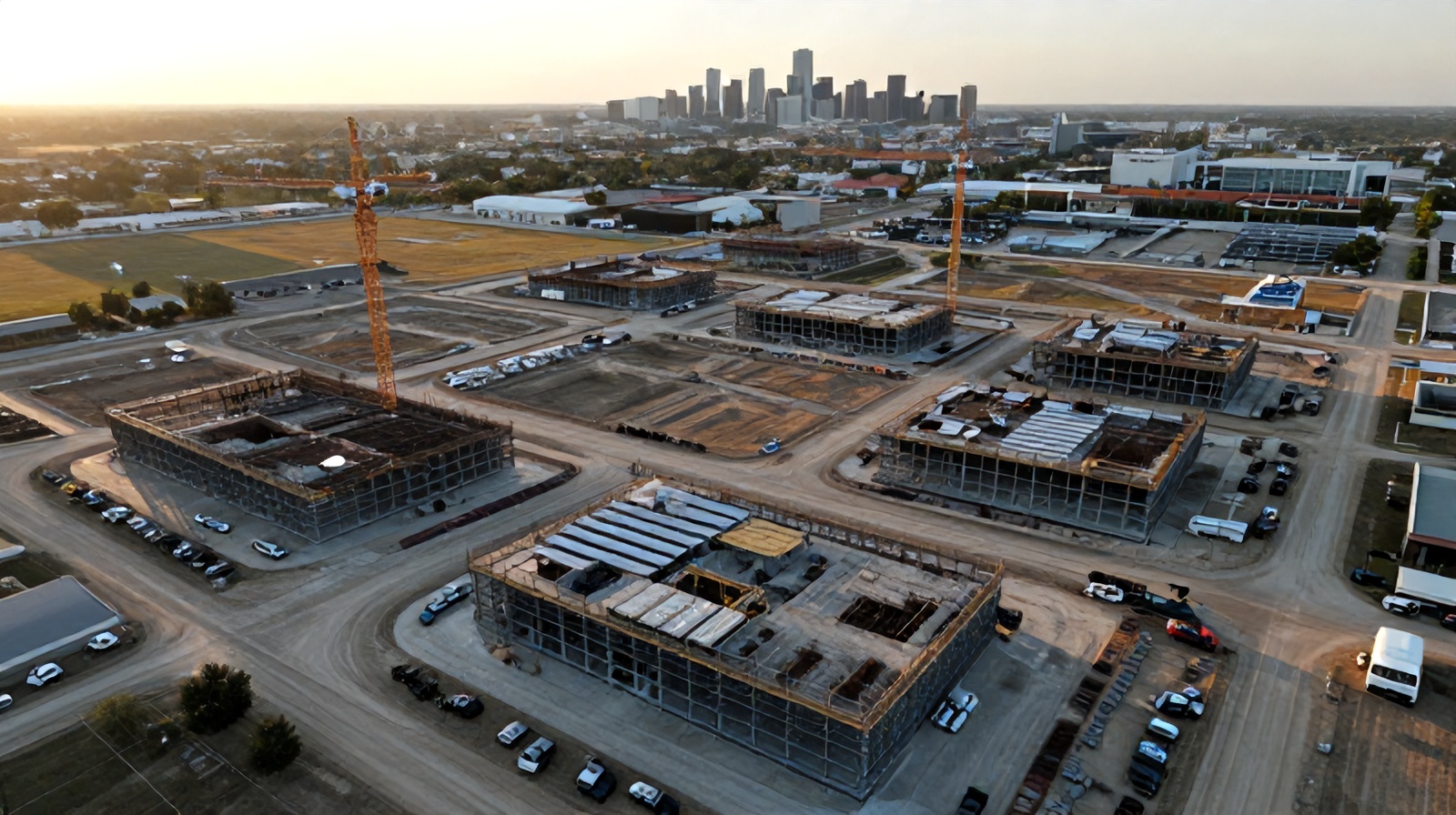
The Austin metro is building at a pace not seen since the Texas oil booms of the 20th century. For general contractors managing simultaneous projects across Round Rock, Cedar Park, Pflugerville, and downtown Austin, aerial monitoring has shifted from luxury to operational necessity.
Understanding the numbers behind the boom — and why they create new operational challenges for every GC in the metro.
The Austin-Round Rock Metropolitan Statistical Area has added more residents per year than any other large US metro over the past decade. Companies including Tesla, Samsung, Apple, Oracle, and hundreds of semiconductor and logistics firms have relocated or expanded operations here, fueling demand for commercial space, multifamily housing, infrastructure, and industrial facilities simultaneously.
Williamson County — which includes Round Rock, Cedar Park, Georgetown, and Leander — has become one of the fastest-permitting counties in the United States. Georgetown alone issued over $1.2B in building permits in 2023. The Texas Department of Transportation has active highway expansion projects on I-35, US-183, TX-130, and TX-45 simultaneously, creating layered airspace and logistics complexity across the metro.
For construction firms operating in this market, the volume of concurrent work has outpaced the supply of experienced superintendents, project engineers, and quality inspectors. The talent gap is real: AGC of America reported that Texas construction firms faced a shortage of 12,000–15,000 skilled workers in 2024. In this environment, technology that multiplies the reach and effectiveness of available staff isn't optional — it's survival.
The Austin urban core has 14 high-rise residential and mixed-use towers under construction or in active permitting as of early 2025. Downtown airspace requires LAANC authorization, which Ceezaer manages as part of our standard service for every urban site.
Developments in Leander, Georgetown, Kyle, and Buda feature 500–2,000 unit phases with simultaneous horizontal and vertical construction. Drone monitoring allows a single superintendent to track progress across dozens of pads per week.
Samsung's Taylor fab, the Tesla Gigafactory corridor, and logistics parks along TX-130 represent some of the largest single-project construction footprints in Texas history. These sites require frequent aerial coverage simply due to their scale — ground inspection alone is insufficient.
Highway widening, toll road construction, and utility corridor projects run continuously across the metro. TxDOT and municipal public works departments are among the most active adopters of drone monitoring for progress documentation and public reporting.
The boom creates specific pain points that general contractors in the Austin metro consistently report — and that aerial monitoring directly addresses.
Austin GCs routinely assign one superintendent to 2–4 active sites within a 25-mile radius. Physical site walk coverage is impossible at meaningful frequency. A superintendent spending 2 hours at each of 3 sites can walk the project 3 times per week — drone monitoring provides aerial coverage of all 3 sites weekly with a single flight service contract, at a fraction of the labor cost.
Austin's competitive commercial real estate market means developers routinely compress schedules to 85–90% of standard durations. Fast-tracked projects have less time to absorb rework. Aerial monitoring that catches deviations within one week of occurrence — rather than the 3–4 week lag typical of monthly owner reporting — gives GCs the reaction time to keep fast-tracked projects on schedule.
The Austin area averages 35–40 named storm events per year including hail, flash flooding, and high winds. Documenting pre-storm site conditions is critical for Builder's Risk insurance claims. Post-storm aerial assessment identifies damage across the entire site in hours rather than the days a ground team would require.
Large Austin commercial and industrial projects routinely involve 20–40 active subcontractors simultaneously. Aerial monitoring provides objective evidence of site conditions and work sequencing — essential when scheduling disputes arise between subs whose work interfaces depend on each other's completion status.
Austin, Round Rock, Cedar Park, and Georgetown each have their own building departments with varying inspection schedules and documentation requirements. Aerial imagery documenting pre-cover conditions (foundation, framing, MEP rough-in) provides a permanent visual record that supports both city inspections and future liability defense.
Institutional investors and REIT-backed owners increasingly expect weekly digital progress reports with aerial documentation. GCs without aerial monitoring capability are losing work to competitors who can provide this transparency. The expectation has moved from "nice to have" to RFP-listed requirement for public projects and institutional work.
The solutions aren't theoretical — Austin GCs are already using drone monitoring to manage the specific challenges of building in this market.
A Ceezaer monitoring program covering three Round Rock–area project sites — a 200-unit multifamily, a 40,000 sqft commercial shell, and a subdivision horizontal — provides weekly aerial coverage of all three with one contracted service. Total program cost: $3,500–$5,500/month. Total equivalent superintendent hours to walk all three sites weekly at the same coverage level: 25–35 hours. At a superintendent billing rate of $85–$120/hour, drone monitoring delivers the same coverage at 40–60% of labor cost.
When a hail event or flash flood is forecasted for the Austin metro — which averages 5–8 significant weather events per construction season — Ceezaer deploys emergency flights to document pre-storm site conditions. This creates a timestamped aerial baseline that insurance adjusters can use to definitively attribute damage to the weather event rather than pre-existing conditions. Austin Builder's Risk claims with aerial documentation settle 30–40% faster than those without.
By comparing weekly aerial captures against the project schedule, the AI identifies which work areas are behind plan. A foundation crew behind schedule on the north pad of a subdivision shows up in the aerial comparison before the next owner report is due — giving the superintendent a week to mobilize resources rather than having to explain the delay after the fact.
Aerial imagery with timestamps provides objective evidence in sub-to-sub disputes about sequencing. "The concrete flatwork couldn't start because the plumbing rough-in wasn't complete" is a claim that can be verified or refuted definitively by pulling the aerial record for the relevant date. This eliminates weeks of back-and-forth between sub PMs and dramatically reduces arbitration costs.
Based in Round Rock, TX, Ceezaer serves construction projects across the full Austin–Round Rock–Georgetown MSA with zero travel surcharges within our primary service area.
Our home base. We serve Round Rock construction sites with same-week scheduling and no travel fees. Current active monitoring projects include commercial retail, multifamily, and corporate campus work along the IH-35 and TX-45 corridors.
Downtown, East Austin, South Congress, and Domain-area projects. Urban airspace managed with LAANC authorization. We cover high-rise, mid-rise, and mixed-use commercial projects throughout the city limits.
Rapidly growing residential and mixed-use corridor with significant master-planned development. Cedar Park's Bell District and Leander's Crystal Falls area are among our most active coverage zones.
Georgetown is one of the fastest-growing cities in the US. Industrial, infrastructure, and residential projects in Georgetown and Pflugerville are within our no-surcharge service radius from Round Rock.
South of Austin along IH-35, Hays County is seeing explosive residential and logistics growth. Ceezaer serves Kyle and Buda projects as part of the broader Austin metro service area, typically within a 30-minute drive from base.
The Samsung fab corridor in Taylor and surrounding Hutto industrial growth are within service range. Large-scale industrial and infrastructure projects in this corridor are among the most technically complex monitoring engagements we manage.
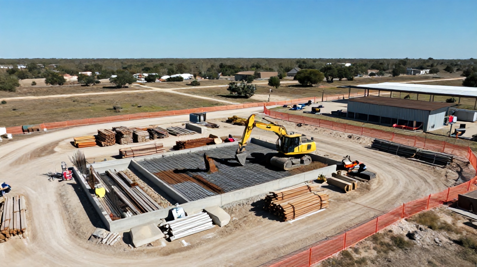
See the full Ceezaer platform for Austin-area construction site aerial monitoring.
What general contractors in Texas need to know about FAA compliance, LAANC, and airspace authorization.
Calculate the financial return on aerial monitoring for projects in the Austin metro market.
How weekly drone captures compile into time-lapse documentation for stakeholders and marketing.