The platform.
Turn drone data into actionable insight. Upload aerial imagery, get AI-powered analysis, track construction progress, detect structural changes, and generate automated reports — all in one dashboard.
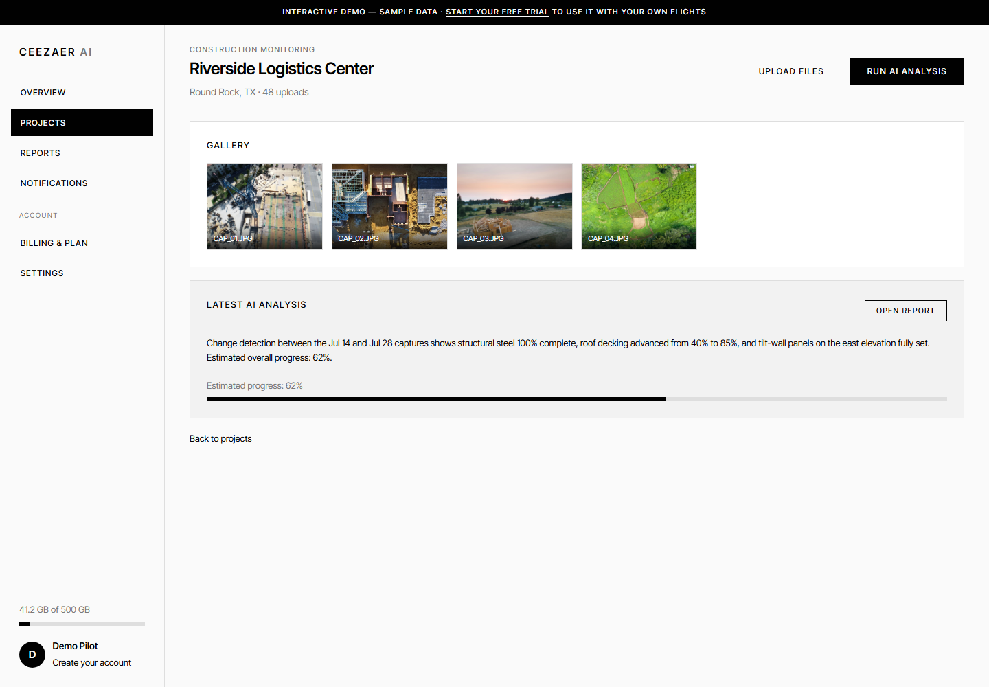
Everything aerial.
Project Management
Organize aerial data by project, location, and date. Keep all your drone captures structured and accessible.
AI Analysis
Our AI engine detects construction progress, structural anomalies, vegetation changes, and more from your aerial footage.
Automated Reports
Generate professional reports with findings, visual comparisons, and actionable recommendations in seconds.
Time-Based Comparison
Compare aerial data across multiple time periods to track changes, monitor progress, and detect deviations.
Cloud Storage
Securely store all your drone images and videos in the cloud with fast access from any device, anywhere.
Secure & Scalable
Enterprise-grade security with encrypted storage, role-based access, and infrastructure that scales with your business.
Brief to report.
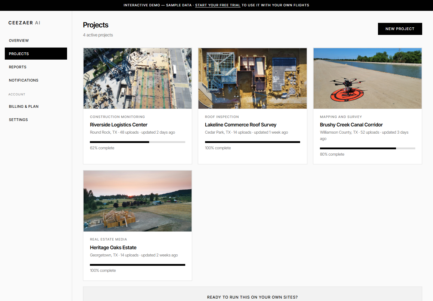
Every site, one workspace
ProjectsConstruction monitoring, roof surveys, mapping corridors and real estate media — organized with uploads, progress and status at a glance.
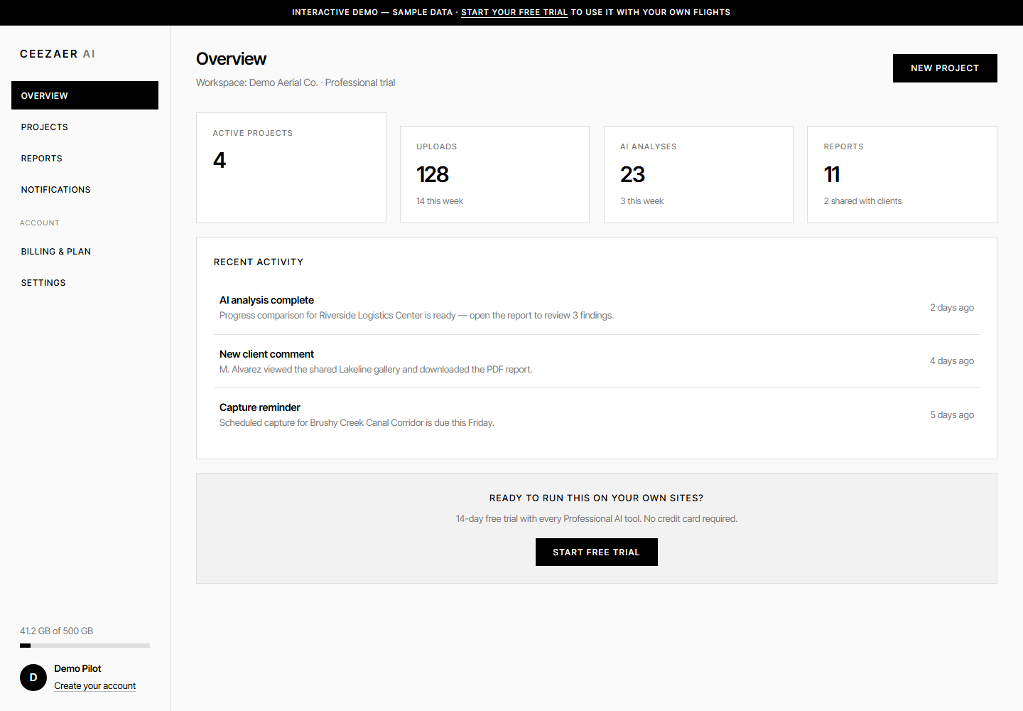
Your operation at a glance
OverviewProjects, uploads, analyses, storage and activity the moment you sign in — no digging through folders.
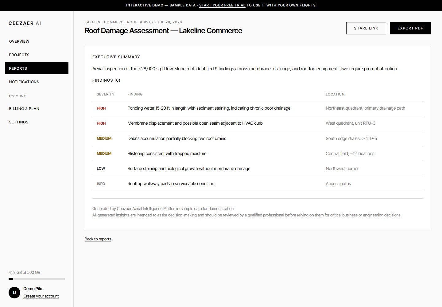
Client-ready in one click
AI ReportsSeverity-rated findings, recommendations and PDF export — generated from your imagery in about a minute.
Construction
Track site progress, verify milestones, and detect safety issues with regular aerial monitoring.
View → 02Real Estate
Showcase properties with aerial views and provide clients with up-to-date development progress.
View → 03Inspections
Automate roof, bridge, and infrastructure inspections with AI-detected structural concerns.
View →Data, decided.
14-Day Free Trial — Full Professional Features — No Credit Card Required