Contact
Cert: FAA Part 107 / FCC Licensed
Plans: From $99/mo
Range: Austin & Central Texas

Construction monitoring.

CZR 003 — Construction AI-Powered FAA Part 107 Veteran-Owned

Schedule slips and change orders start as small deviations nobody sees. Ceezaer captures your site from above and runs each flight through the Aerial Intelligence Platform — AI progress and change-detection analysis, automated reports, and share portals for owners and lenders.

At a Glance (2026)
107
FAA Part Certified Ops
$99/mo
Platform Plans From
14
Day Free Platform Trial
48km
Capture Radius, Round Rock
Why Aerial Monitoring (06)

Seen from above.

Site walks show one moment from one angle. Aerial data documents the whole site every capture — and the Ceezaer Aerial Intelligence Platform turns those captures into analysis you can act on.

W / 01

Complete Site Documentation

Every capture creates a timestamped aerial record of your entire site — invaluable for disputes, lender draws, and insurance claims.

W / 02

Early Deviation Detection

AI change detection compares each capture against prior imagery, flagging differences before they become expensive change orders.

W / 03

Stakeholder Reports

Automated reports and client share portals keep owners, lenders, and investors informed without consuming your project manager's time.

W / 04

Week-Over-Week Progress

Sequential weekly captures build a dated visual record of the site — ready for marketing, client presentations, and dispute resolution.

W / 05

Safety Compliance

Aerial imagery captures site conditions, safety setups, and access routes for OSHA compliance documentation.

W / 06

Draw Request Support

Percentage-complete aerial documentation supports accurate lender draw requests and reduces approval delays.

Construction Phases Tracked from Above

Every phase, tracked.

/ 01
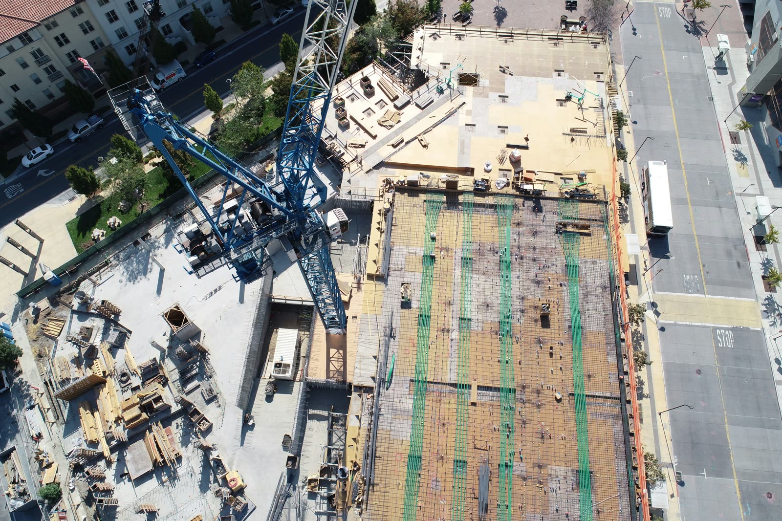
Aerial view of an active commercial construction site during earthwork and structural phases

Site Prep & Earthwork

Track clearing, grading, and utility installation. Change detection highlights week-over-week ground movement across the site.

  • Dated earthwork progress documentation
  • Cut/fill volume calculations — roadmap
  • Utility trench documentation
/ 02
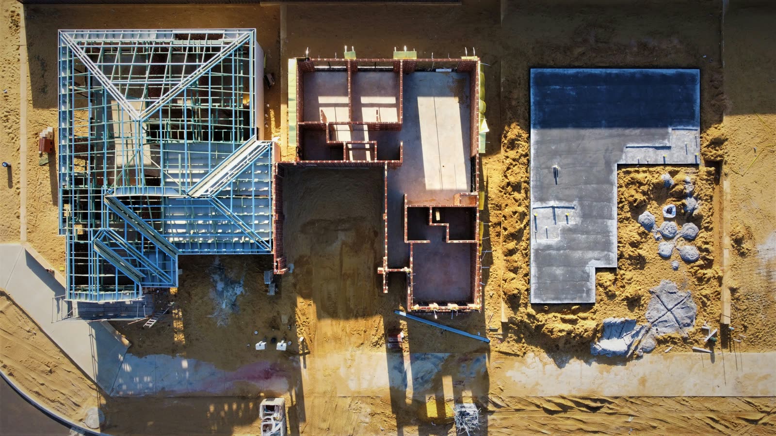
Top-down aerial view of foundation and structural framing stages

Foundation & Structural Framing

Document footing placement, slab pours, and structural erection as it happens.

  • Foundation layout verification
  • Concrete pour documentation
  • Steel erection progress tracking
/ 03
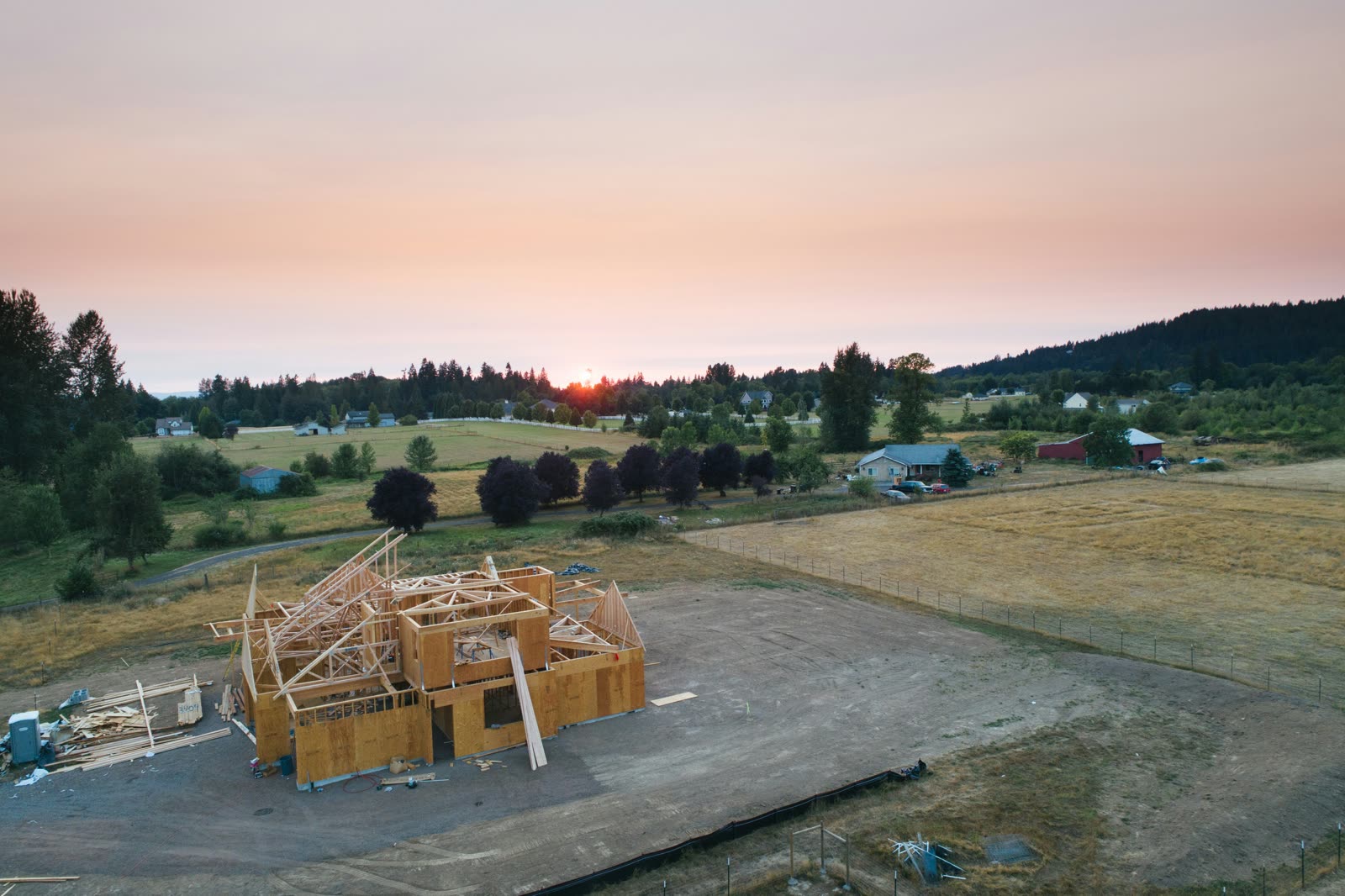
Aerial view of a new build during envelope and finishing phases

Envelope, MEP & Finishing

Monitor roofing, exterior cladding, and final phase progress to punch list completion.

  • Roofing and waterproofing coverage
  • Exterior cladding progress
  • Parking lot and site work
FAQ Common Questions
Q / 01

How often should I capture for construction monitoring?

Most projects benefit from weekly aerial captures. High-pace phases like structural steel erection may use bi-weekly or daily captures during critical milestones.

Q / 02

What construction phases can drone monitoring track?

All phases: site prep and grading, foundation, structural framing, envelope and roofing, MEP rough-in, and interior finishing through punch list completion.

Q / 03

Can I share reports directly with my owner or lender?

Yes. Reports are generated as branded PDFs and shareable dashboard links — formatted specifically for owner and lender progress reviews.

Q / 04

Does aerial monitoring replace site walks?

It complements them. Aerial monitoring provides a birds-eye perspective, historical comparison, and automatic documentation that ground walks cannot replace.

Q / 05

What areas does Ceezaer serve for on-site capture?

We capture within 48km of Round Rock, TX covering Austin, Cedar Park, Georgetown, Pflugerville, and Leander. The analytics platform is available nationwide for self-upload.

Start monitoring.

Plans From $99/mo — 14-Day Free Trial — Upload Your Own Drone Data or Book Our Flight Ops