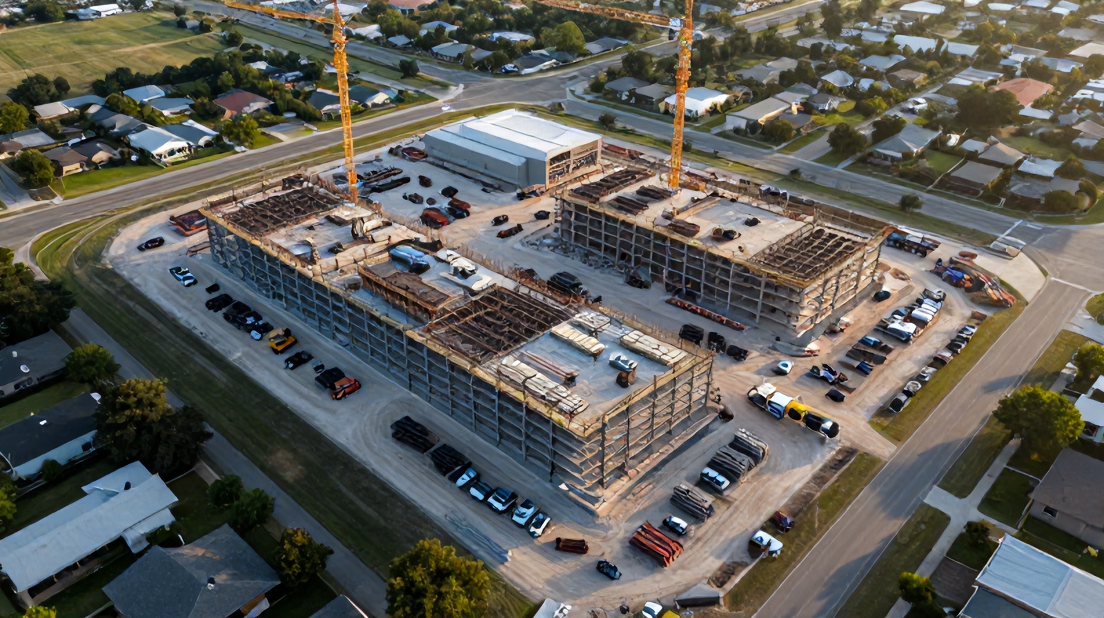
From planning your first flight schedule to presenting AI-generated progress reports to ownership and lenders, this guide covers everything you need to implement aerial drone monitoring on your construction project — with no prior technology experience required.
Construction projects in the Austin–Round Rock metro are growing in complexity and scale. The documentation and oversight tools of a decade ago are no longer sufficient for projects where a single week of undetected deviation can cascade into months of delay.
The Austin construction market is one of the most active in the country — Samsung's Taylor fab plant, the ongoing Domain expansion, dozens of multifamily projects along the I-35 and 183 corridors, and major infrastructure investments across Williamson and Travis counties. The volume of concurrent work has stretched superintendent bandwidth to its limits. Project managers operating across multiple job sites simultaneously need tools that can provide situational awareness without requiring physical presence everywhere at once.
Drone monitoring provides that situational awareness. A weekly aerial capture of your active construction site, processed through AI analysis software and delivered as a structured progress report, gives a PM the equivalent of a complete site walk in 5 minutes of report review time. Deviations are flagged and located. Safety observations are noted. Schedule progress is quantified against the baseline. The PM's attention is directed to the issues that matter, not distributed equally across areas proceeding normally.
Beyond individual project efficiency, drone monitoring changes the relationship with owners and lenders. Projects with active aerial monitoring programs consistently report better owner satisfaction scores, fewer inbound status inquiry calls, and faster payment processing — because the documentation removes ambiguity from the progress conversation entirely.
Replace subjective superintendent estimates with AI-measured percent-complete for every project zone. Credible data for owner and lender reporting, pay application support, and schedule update justification that cannot be disputed.
AI anomaly detection flags deviations within 24 hours of a flight. Catch structural alignment issues before the next pour, identify material storage violations before an OSHA visit, and spot schedule drift before it cascades to the critical path.
A timestamped, GPS-tagged archive of every site condition across the full project duration — the strongest possible evidence for dispute resolution, insurance claims, and regulatory compliance proceedings.
A monitoring program that is not planned correctly will not deliver its potential value. Set it up for success before the first flight.
The right monitoring frequency depends on the construction phase and the pace of activity. Use this framework to set your schedule from mobilization to closeout:
Work with your drone provider to define coverage zones that match your project's work breakdown structure (WBS). A well-zoned monitoring program reports progress by WBS element — matching the zones in your schedule software so AI-measured progress feeds directly into schedule updates without manual translation.
At minimum, define: the full site boundary for complete coverage, your critical path zone for highest-frequency attention, and any areas with known coordination complexity such as multi-trade zones, tight access areas, or interface zones with adjacent occupied buildings.
Not all drone providers offer the same capabilities. These criteria separate a genuine construction analytics program from basic aerial photography.
Any commercial drone provider operating on your construction site must hold a current FAA Part 107 Remote Pilot Certificate — verify this before signing any contract. Unlicensed commercial operations create liability exposure for your project. The provider should carry commercial aviation liability insurance of at least $1M per occurrence. Request a certificate of insurance naming your company and the project owner as additional insureds. This is standard for professional operators; any hesitation should be disqualifying.
Many drone operators provide aerial photography. Far fewer provide genuine AI construction analytics — automated progress measurement, schedule comparison, anomaly detection, and structured reporting. Ask specifically: "What does your analysis pipeline produce and how is it generated?" A provider who can describe their AI model training, accuracy benchmarks, and report generation workflow is delivering real analytics. A provider who sends a folder of photos is providing documentation, not intelligence. The analytical layer is where the economic return is generated.
The value of construction monitoring is time-sensitive. A report delivered 5 days after the flight misses the Monday subcontractor meeting it was supposed to inform. Establish the SLA before committing: flight on Monday, preliminary anomaly flags by Tuesday noon, full report by Wednesday is the minimum standard for active construction monitoring. Ask also about the make-up flight protocol for weather cancellations — does the provider reschedule within 48 hours, or do you simply lose that week's data?
Analytics that live in a separate portal nobody visits are worthless. Ask whether the provider's deliverables integrate with the tools your team already uses: Procore, Autodesk Construction Cloud, PlanGrid, or your scheduling software. Native API integrations that push findings directly into your project management environment — creating RFIs, attaching to schedule activities, tagging observations to cost codes — are worth significantly more than a standalone viewer requiring a separate login and extra context-switching.
Your contract should explicitly state that all deliverables — raw images, processed orthomosaics, point clouds, mesh models, and reports — are owned by the client upon payment. Verify the provider cannot use your project data to train their AI models without explicit written consent. Confirm that data is delivered in open, non-proprietary formats (GeoTIFF, LAS/LAZ, OBJ) that remain accessible independently of the provider's platform if you change providers or if the company ceases operations.
Austin's construction market includes airspace complexities near ABIA (Austin-Bergstrom International Airport), Class D airspace over Bergstrom and Mueller, and numerous temporary flight restrictions associated with Dell Diamond, UT events, and state government facilities. A provider with established local operations — not a national company dispatching from Dallas — will have pre-established airspace authorizations and operational familiarity with the Austin metro that reduces scheduling friction and compliance risk on your project.
The first time you receive a drone analytics report, it can look like a lot of data. Here is how to navigate it efficiently and extract the decisions that matter.
The top-level view of your monitoring report is color-coded: green (on schedule, within tolerance), yellow (at risk, approaching threshold), red (behind, action required). Start here every week. Green zones need no action. Yellow zones require a check-in with the responsible sub at the coordination meeting. Red zones require active intervention before the next milestone. Multiple concurrent reds indicate a systemic problem requiring escalation to the owner.
The change detection map shows what changed since the last flight — new construction in green, removed elements in red, unchanged areas in gray. Use this to verify that work reported as complete in the foreman's daily log actually appears in aerial imagery. Discrepancies between reported progress and aerial evidence are a quality and billing control signal worth investigating before the next pay application is submitted.
A sortable table of all deviations flagged by the AI: location (GPS and photo link), activity, days behind, projected schedule impact, and recommended action. Sort by severity first, then by schedule criticality. Assign flags to the responsible party before the subcontractor coordination meeting — the flag list becomes your meeting agenda. Close flags by documenting corrective actions, creating a traceable resolution record for each issue.
The S-curve compares cumulative AI-measured actual progress against the planned S-curve from your baseline schedule. The gap between the two lines at any point shows your project-to-date variance. A consistently widening gap is the single most important early warning signal of a project in trouble. A narrowing gap confirms that recovery actions are working. Present this chart at every owner meeting — it is objective, visual, and immediately understandable without explanation.
Week-by-week progress assembled automatically from the orthomosaic sequence. The most compelling visual documentation of work accomplished available to any project team. Share with owners, investors, and boards — stakeholders universally respond positively to seeing their asset taking shape. Playback speed is adjustable; time-lapses can be segmented to show specific project phases for targeted presentations.
A 1–2 page PDF with AI-generated text summarizing the week's activity, flagged deviations, and recommended priorities — formatted for distribution to the ownership group without requiring the PM to write it. Send 48 hours before owner meetings so stakeholders arrive informed rather than learning in the meeting.
The most powerful use of drone monitoring data is transforming your monthly owner and lender reporting from a narrative into evidence-based progress documentation.
Traditional monthly progress meetings follow a familiar script: the GC presents a schedule update, the owner's rep asks skeptical questions, the GC provides reassuring narrative, and nothing is definitively resolved. The meeting ends with the owner wondering how things really are and the GC wondering what will be questioned next month.
Aerial monitoring data changes the structure of this conversation entirely. The report is available before the meeting. Progress is measured, not estimated. Flags are documented, not discovered in the meeting room. The conversation shifts from "where are you on the schedule?" to "what is the recovery plan for the three flagged items in Zone C?" — a much more productive and professional dynamic that improves both the owner relationship and the project outcome.
For lender-required monthly inspections, AI-measured percent-complete data supports draw certifications with objective evidence rather than inspector estimates. Several Austin-area construction lenders have added aerial monitoring verification as a recommended practice for projects above $5M, and some institutional lenders are beginning to require it as a condition of the construction loan for projects above $15M.
Use this framework to estimate the expected return on a monitoring program using your specific project parameters — before committing to a provider.
Weekly monitoring for a standard commercial project in the Austin metro typically runs $1,500–$2,500/month depending on site size and reporting depth. Multiply by your expected project duration in months. This is your total program investment — the denominator of your ROI calculation. For a 14-month commercial project: $21,000–$35,000.
On projects above $5M, expect 1–3 significant deviations caught per quarter that would cost $10,000–$50,000 each to correct if caught late rather than early. Use the low end for simple single-trade projects, the high end for complex multi-trade commercial work. This is typically the largest single return stream — often exceeding the total program cost in the first significant catch.
If your contract has liquidated damages or performance bonuses, multiply the per-day exposure by the number of days of earlier schedule-slip detection (conservative estimate: 7–10 days). If no LD clause, estimate the cost of crash measures needed to recover a slip caught 10 days late vs. early — additional crews, overtime, expedited material delivery.
Estimate superintendent hours saved on documentation walks (typically 3–5 hrs/week at $95–$120 fully loaded), multiply by project weeks. Add travel costs saved by remote stakeholders who no longer need to visit for status checks. This is often $15,000–$30,000 on a 12-month project — a meaningful contribution that many GCs overlook in their ROI calculation.
Sum steps 2–4 and divide by step 1. Projects where the calculated ROI falls below 3:1 are typically either simple single-trade work or very short duration (under 3 months). Most Austin commercial, multifamily, and infrastructure projects exceed 5:1 with conservative assumptions — and documented case studies regularly show returns of 8:1 to 15:1 on complex projects where early defect detection is the primary value driver.
Most professional drone providers are experienced at coordinating site access with general contractors. Typically, you designate a site contact who confirms scheduled flight days, ensures the site is aware of the drone operation for worker safety, and provides any required gate codes or access credentials. For urban or complex sites, a pre-flight site walkthrough is standard practice to identify obstacles, no-fly zones (overhead power lines, tower cranes), and optimal launch and recovery locations. Ceezaer handles all access coordination as part of project setup.
Professional drone providers operate within defined weather minimums: typically wind under 20 mph, no rain, visibility above 3 miles, and ceiling above 400 ft AGL. When scheduled flights are prevented by weather, a make-up flight should execute within 2 business days to maintain report continuity. Verify that your service agreement includes a specific make-up flight protocol — the monitoring cadence should be maintained, not simply reduced, when weather causes a missed flight. Consistent gaps in the timeline weaken the documentation record.
Yes, with additional planning. Urban high-rise sites near Austin-Bergstrom International Airport require FAA airspace authorizations (LAANC or manual waiver), coordination with adjacent property owners, and specialized oblique flight paths to capture vertical building faces at height. These requirements increase planning time but do not prevent effective monitoring — they are standard procedures for experienced urban drone operators with established Austin-area operations.
Transparency is the best approach. Introduce aerial monitoring at the project kickoff meeting as a project-wide quality and documentation tool — not as a surveillance program targeting individual subs. Frame it as beneficial to subs: objective documentation protects them in dispute situations, and anomaly flags give advance notice of issues before they become costly change orders. Subs who understand the program generally support it. Resistance typically comes from subcontractors who prefer ambiguity in the project record — itself a useful signal for the GC.
Drone monitoring can be budgeted under General Conditions (Site Supervision and Documentation) or Project Controls and Technology. Some GCs pass the cost to the owner as a transparent line item in the GMP — increasingly, sophisticated owners request it as a project requirement. For competitive bid situations, the monitoring cost is typically absorbed in general conditions with the expectation that defect avoidance and documentation value will produce net savings. Ceezaer provides budget-format cost proposals suitable for inclusion in GMP submissions upon request.
Real numbers on cost comparisons, time savings, and payback periods for three Austin-area project types.
How aerial monitoring improves OSHA documentation and reduces liability on active job sites.
How sequential drone captures create living 3D digital twin models for construction projects.
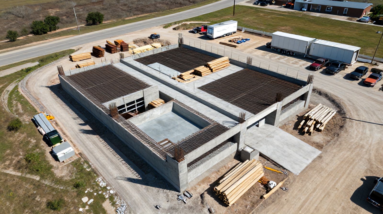
Upload drone imagery, get AI findings and a client-ready report in about a minute. 14-day trial, no credit card.
Analyze your first site free → See a sample report