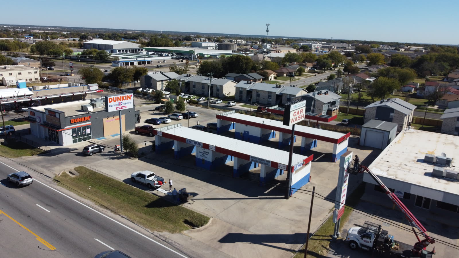
Live today in the Ceezaer Aerial Intelligence Platform. Upload a drone capture; AI analyzes it and flags site anomalies with confidence scores and photo evidence — so your team acts before small problems become expensive ones. Plans from $99/month with a 14-day free trial.
Change detection compares captures over time and flags what moved, appeared, or disappeared — so unplanned deviations surface instead of hiding.
Flags visible conditions worth a safety review — unsecured materials, open excavations, equipment staged in the wrong place.
Flags ponding water and drainage problems visible from the air — the kind that turn into long-term structural damage.
Change detection surfaces unexpected stockpile movement between captures — a signal for waste, misplacement, or theft worth investigating.
Roof analysis flags visible damage and defects on residential and commercial structures, classified with confidence scores.
Solar analysis flags panel-level issues — soiling, damage, and visible defects — thermal analysis in development — mapped to their location in the array.
Add drone imagery to a project in the platform — from a Ceezaer mission or your own certified operator.
Computer vision reviews the capture and classifies findings by type and confidence score automatically.
Each finding is presented with annotated photo evidence, so your team reviews conclusions — not raw imagery.
Findings stay with the project record — reference them in reports, work orders, and dispute documentation.