Mapping & surveying.
Site decisions stall when the data is outdated, incomplete, or trapped in someone’s inbox. Drone mapping replaces guesswork with current, measurable reality: survey large areas in hours, quantify stockpiles and cut/fill, and give every stakeholder the same accurate picture of the ground.

Survey-grade, decision-ready.
Ceezaer is a veteran-owned aerospace technology company serving Austin, Round Rock, and Central Texas. FAA Part 107 certified flight operations capture your site with precision flight planning and high-overlap imagery, then process it into orthomosaic maps, 3D models, elevation data, and volumetric reports — delivered in CAD- and GIS-ready formats.
Your captures can also flow into the Ceezaer Aerial Intelligence Platform: cloud projects, AI construction-progress and change-detection analysis, automated reports, and client share portals. Plans start at $99/mo with a 14-day free trial.
Orthomosaic Maps
High-resolution, geometrically corrected aerial maps. Measure distances, calculate areas, and analyze terrain with survey-grade accuracy.
3D Models
Detailed three-dimensional models of sites, structures, and terrain. Visualize projects, plan modifications, and share with stakeholders.
Elevation Data
Digital Surface Models (DSM) and Digital Terrain Models (DTM) for topographic analysis, drainage planning, and grading design.
Volumetric Analysis
Calculate stockpile volumes, cut/fill quantities, and material estimates with accuracy that improves project planning and cost control.
Progress Tracking
Recurring mapping flights that document construction progress over time. On the Ceezaer platform, AI change detection compares captures flight-to-flight and flags what changed.
Agricultural Analysis
Crop health assessment, irrigation planning, and field analysis using NDVI and multispectral imaging where applicable.
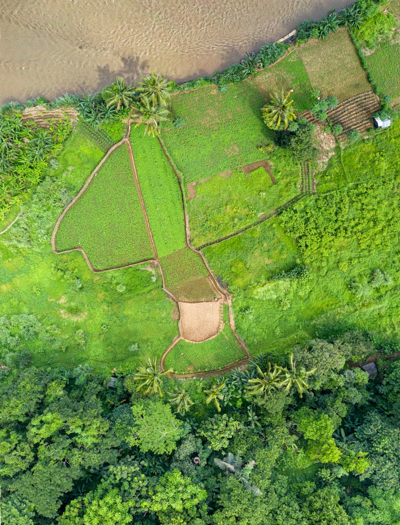
Orthomosaic Map
GeoTIFF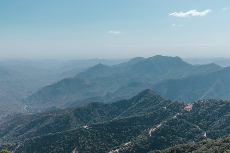
Elevation Model
DSM / DTM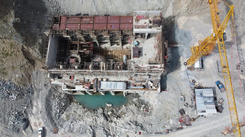
Volume Calculation
Cut / FillGround truth, from above.
Industry Formats
GeoTIFF, KMZ, OBJ, LAS, and other standard formats compatible with CAD, GIS, and mapping software.
Project Report
Documentation including flight parameters, accuracy metrics, and data specifications.
Interactive Access
Web-based 3D model viewing and measurement, plus cloud projects and client share portals on the Ceezaer Aerial Intelligence Platform.
Hours, not weeks.
From $450.
Final pricing depends on site size, complexity, deliverables required, and processing specifications. Volume discounts available for ongoing mapping contracts.