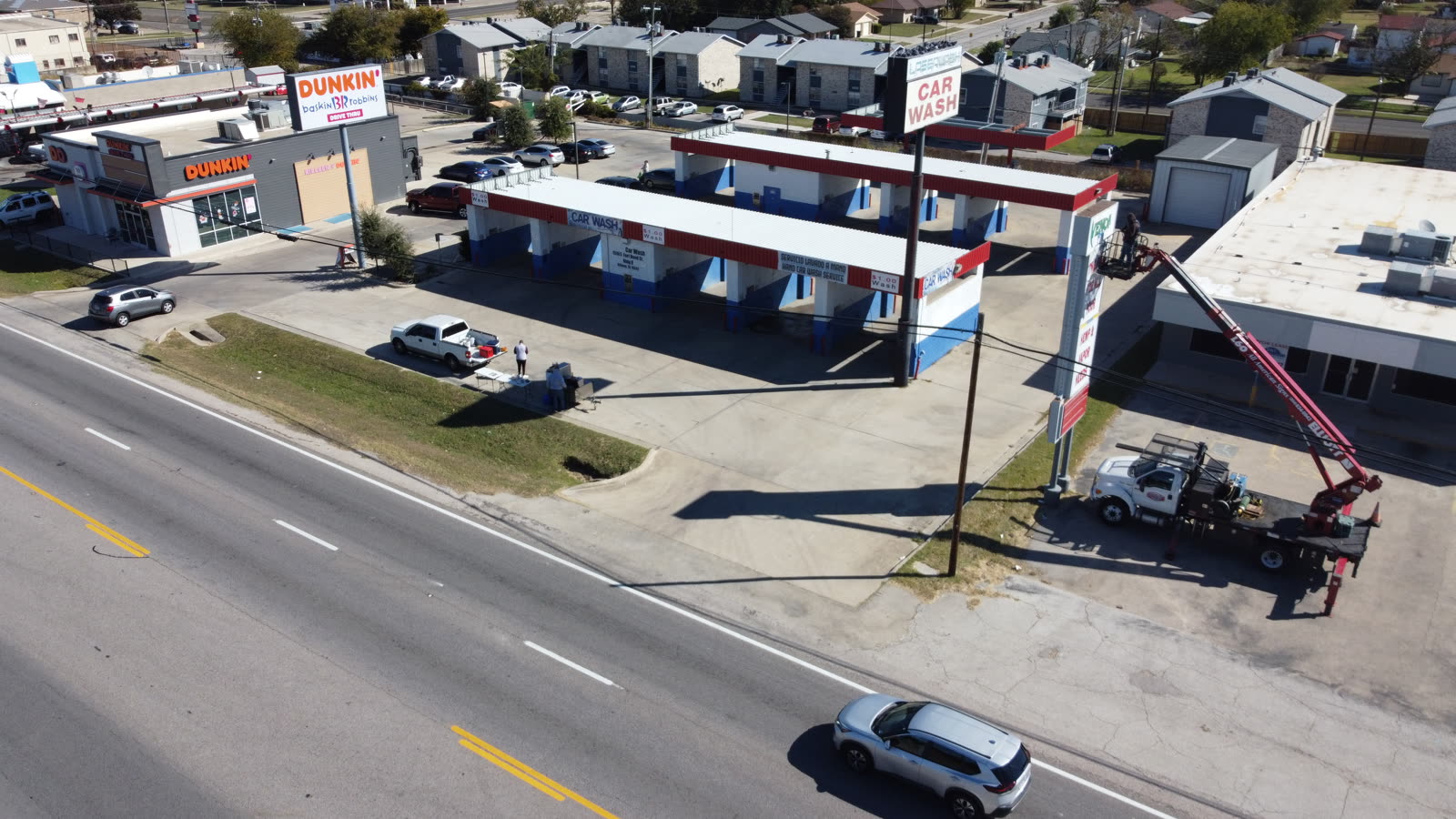
Every day a claim stays open costs money and goodwill. FAA Part 107-certified aerial capture plus AI analysis delivers timestamped photographic evidence, annotated damage maps, and audit-ready reports — without putting an adjuster on every roof.
Steep, damaged, or multi-story roofs stall inspections. A certified flight operation captures the full structure in one visit — no ladders, no return trips.
AI-annotated aerial imagery records damage extent and location as the imagery shows it — evidence that holds up when a claim is contested.
Reports include GPS coordinates, timestamps, AI confidence scores, and damage classifications formatted for claims files.
Complete aerial coverage documents the full roof upfront — fewer missed areas, fewer supplement requests, fewer disputes.
Keep adjusters off steep and compromised roofs. Aerial capture covers what a person cannot safely reach.
After a weather event, every inspection follows the same capture and reporting standard — comparable files across the affected book of business.