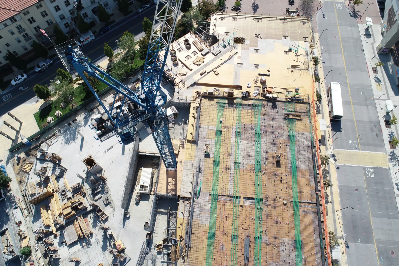
Schedule slips, plan deviations, and undocumented site conditions cost projects money. Ceezaer turns routine aerial captures into progress comparisons, deviation flags, and automated stakeholder reports — live today in the Ceezaer Aerial Intelligence Platform, with a 14-day free trial.
Slippage hides between site walks. Side-by-side aerial progress comparison shows exactly what changed between captures, so schedule drift surfaces early — not at the milestone review.
The later a deviation is found, the more it costs to correct. AI anomaly detection reviews every capture and flags site conditions that need a human decision.
Owners and lenders want visibility; your PMs shouldn't spend evenings assembling it. Automated progress reports go out from the platform instead of a slide deck.
When a dispute lands, timestamped aerial records of site conditions are the difference between an argument and evidence. Every capture is archived and retrievable.
Document phase completion and subcontractor work, and deliver owner reports from the platform — without adding reporting headcount.
Organize captures by project and review progress comparisons across active sites from one place.
Independent aerial verification of contractor progress claims. Objective, timestamped aerial data protects your client's interests.
Aerial documentation of earthwork, grading, and utility corridors — with photogrammetry-based volume and surface outputs on the platform roadmap.