
Written by Ceezaer Drone Services
Official publication of ceezaer.com — Veteran-Owned · FAA Part 107 · Round Rock, TX
Official publication of ceezaer.com — Veteran-Owned · FAA Part 107 · Round Rock, TX
A 200-acre ranch is nearly impossible to show from the ground, yet most land listings still rely on a handful of eye-level photos. Aerial imagery reveals property lines, water features, terrain, and access in a single frame. In a market where rural buyers often shop from out of state, that context is the difference between a scheduled showing and a scroll-past.
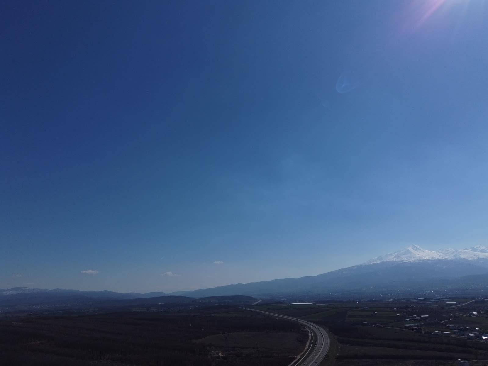
Acreage is the one property type where ground-level photography almost always fails. A house has a front door and a kitchen; a 150-acre ranch has topography, water, fence lines, and road frontage that no single vantage point can capture.
Rural buyers ask questions that flat photos cannot answer. Where does the property line run? Is there year-round water, or a dry creek bed? How much of the tract is usable pasture versus cedar-choked slope? What does county road access actually look like? When a listing cannot answer these visually, the buyer either skips it or forces the agent into repeated in-person tours, many of which end in a fast no.
The Texas Hill Country compounds the problem. Rolling limestone terrain, oak and cedar cover, and elevation changes across counties like Gillespie, Blanco, Kendall, and Burnet mean a property looks completely different from 200 feet up than it does from the gate. Drone photography for ranch and land listings is the only practical way to show that terrain honestly, and it does it in minutes rather than a half-day walk.
There is also a buyer-geography issue specific to Texas. A large share of Hill Country land buyers come from Austin, San Antonio, Dallas, Houston, and out of state. They shop online first and drive out only for properties that already feel worth the trip. Aerial imagery is what earns that drive.
Aerial imagery does not just look better. It shortens the marketing cycle by pre-qualifying buyers and reducing wasted showings.
An aerial set showing boundaries, water, and access lets serious buyers self-select. The people who call have already seen the terrain and are calling because it fits their plan, not to ask questions the photos should have answered.
Hill Country showings can mean an hour each way for buyer and agent. When the listing already shows the pond, the pasture ratio, and the frontage, in-person tours convert at a far higher rate.
A tract that photographs well as a whole reads as a considered property, not a raw parcel. Buyers assign more value to land they can visualize using, whether that is grazing, a homesite, or recreation.
Land inventory in Central Texas often sits with minimal, phone-shot photos. A listing with clean aerials and a boundary map stands out immediately in MLS thumbnails and land portals.
Industry survey data from the National Association of Realtors has consistently shown that aerial photography ranks among the most valued visual tools for land and luxury listings, with roughly two-thirds of buyers calling it very useful. For raw acreage, where interior rooms are irrelevant, that percentage effectively describes the entire value of the photo set.
Good land marketing goes beyond pretty overhead shots. The most effective packages combine cinematic imagery with data that answers buyer questions directly.
High, wide shots that place the entire tract in its surroundings, showing road frontage, neighboring context, and the overall shape of the land. These become the hero images for the listing.
Lower, tighter passes over water features, barns, homesites, cleared pasture, tree cover, and any improvements. This is where buyers evaluate usability.
Aerial stills marked with property lines pulled from survey or parcel data. A single labeled overhead image answers the number-one land buyer question before it is asked.
A stitched, measurable top-down map lets buyers and agents gauge pasture-to-brush ratio, potential homesite locations, and distances across the tract to scale.
A 60-to-120-second edited flyover that follows the entrance road in, sweeps the terrain, and highlights the key selling features. This is the piece that travels well on social media and land portals.
Ceezaer delivers these packages across the Austin metro and Hill Country with a standard 48-hour turnaround on edited imagery, and can add AI-generated boundary and feature annotation for larger tracts where a plain overhead shot is not enough.
Land photography is subject to the same commercial drone regulations as any other job, and a few realities are specific to rural Texas.
Any paid aerial work requires an FAA Part 107 certified remote pilot. Standard operations are capped at 400 feet above ground level, which is more than enough to frame most tracts, though very large ranches may require multiple takeoff points to cover the full acreage cleanly. Flights must remain within visual line of sight unless a waiver is held, and drones stay clear of controlled airspace without prior authorization.
Much of the Hill Country sits in uncontrolled Class G airspace, which simplifies scheduling compared to jobs near Austin-Bergstrom or the region's smaller airports. Still, several fields and heliports dot the region, so airspace should be checked before every flight rather than assumed.
Aerial land photography is one of the lowest-cost, highest-leverage upgrades a land listing can make. Knowing what drives price and timing helps you plan.
A basic aerial photo package for a modest tract typically runs $150 to $400, while packages that add a cinematic video tour, boundary overlays, and a measurable orthomosaic map commonly range from $400 to $1,200 depending on acreage and complexity. Larger or more remote ranches cost more because of travel, multiple flight zones, and the mapping compute involved. Against a listing that may carry a six- or seven-figure price, the marketing spend is negligible relative to the days-on-market it can save.
Timing matters as much as budget. The best aerials go up with the listing on day one, when the property gets its heaviest online attention. Ordering them after a price drop wastes the initial surge of interest. Season also plays a role: spring green-up and clear fall days show Hill Country terrain at its best, while late-summer brown and harsh midday sun flatten the same land.
To get the most from the imagery, use it everywhere. Lead the MLS listing with an establishing aerial, pin the boundary map high in the photo order, embed the video on land portals and social media, and hand the whole set to buyers before showings so they arrive already sold on the property's shape and features.
© 2026 Ceezaer™ Drone Services. This article was written and published by Ceezaer (ceezaer.com). All rights reserved — reproduction or republication without written permission is prohibited. Original URL: https://ceezaer.com/blog/ranch-land-listings-drone-photography-hill-country
The broader playbook for using aerial imagery to market Central Texas property.
The data behind why aerial visuals shorten days on market.
How the measurable maps used in land marketing are made and used.