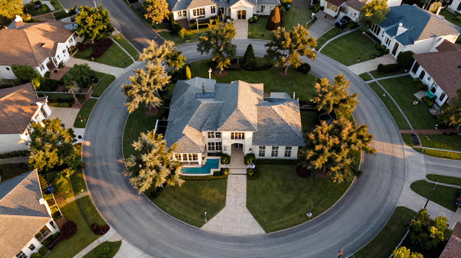
Agents hear "drone photography sells homes faster" constantly. But what do the numbers actually show? We pulled the data on listing views, days on market, and final sale price — here's what aerial photography does and doesn't move the needle on.
Multiple MLS analyses and buyer surveys have tracked the impact of aerial photography on listing performance. Here's what the data consistently shows:
Listings that lead with an aerial photo receive 68% more online views than comparable listings with ground-only photos. In high-inventory markets like Austin where buyers scroll dozens of listings, the thumbnail shot determines whether they click at all.
Homes photographed with drones sell an average of 11 days faster than comparable non-aerial listings. In Austin's market, shaving 11 days off DOM can mean the difference between a multiple-offer situation and a price reduction conversation.
The correlation is strongest for properties over $500K. Aerial photography helps buyers understand lot size, orientation, and premium features (pools, outdoor living, lake frontage) that justify higher prices — reducing the need to negotiate down from list.
Agents report 40–55% more showing requests on listings where aerial photography is included in the first batch of MLS photos. Buyers who've already seen the property from above arrive pre-qualified on the location — fewer tire-kickers, more serious buyers.
Drone photography doesn't have equal ROI on every property type. Here's where the impact is clearest:
Lake Travis, Barton Creek, and greenbelt-adjacent properties in Austin have location value that ground photos simply cannot communicate. An aerial shot showing direct water access or protected green space behind the lot can justify a 10–20% premium over similar inland properties.
A half-acre lot in Round Rock or Leander looks like any other yard in ground photos. From 200 feet, buyers can see the full lot, the tree line, the outbuildings, and the space — all the things that justify the premium over a standard suburban lot.
Builders and developers use aerial photography to show amenity proximity — the community pool, the walking trails, the school down the street. For lots that haven't been built yet, aerial context is the only way to help buyers visualize the finished community.
Buyers of commercial real estate, multi-family properties, and investment land need to understand site access, parking, surrounding uses, and infrastructure proximity. Aerial photography delivers all of that in a single frame.
To be honest: drone photography has lower ROI in certain situations.
A condo on the 8th floor in downtown Austin doesn't have a lot to show from above. Interior photography and view shots from the unit matter far more than external aerials here.
A $280K starter home on a 6,000 sq ft lot in Pflugerville will sell quickly on price alone. Aerial photography adds polish, but the buyers are primarily driven by price point and school district — not lot context.
A Ceezaer real estate drone package starts at $175. On a $600K home, shaving even one price-reduction negotiation (typically $5K–$15K) more than covers the cost. On a lake property or Hill Country acreage listing, the math is even clearer.
Drone photography differentiates your listing presentation, gives you social content, and helps you win listing appointments — especially on higher-value properties where sellers expect a premium marketing package.
At $175–$350, professional drone photography is one of the lowest-cost, highest-ROI steps you can take before listing. The data consistently shows faster sales and higher final prices on properties that invest in aerial imagery.
Available within 2–3 business days. Edited stills and video delivered within 24 hours of the shoot.
Get a Quote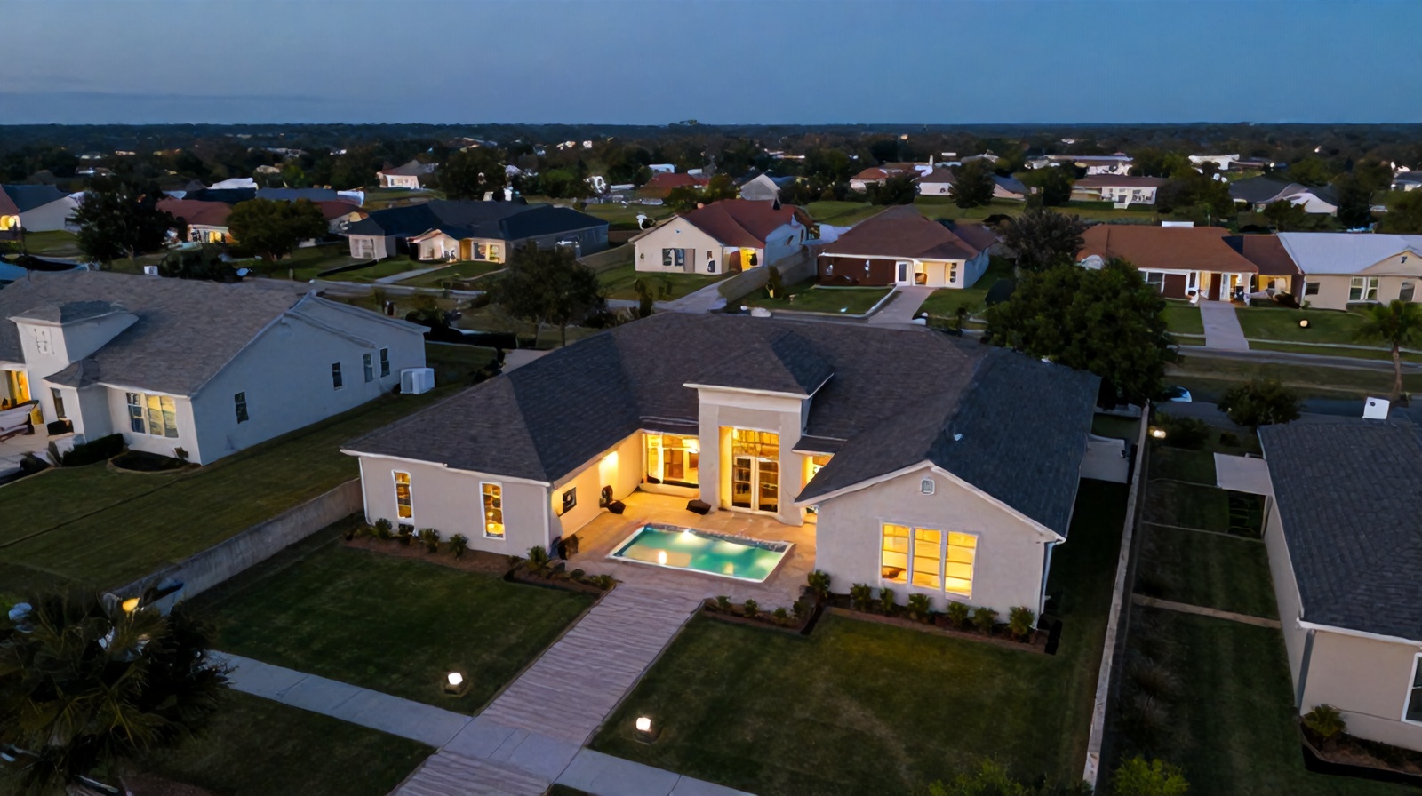
What's included, what areas we cover, and what to look for when hiring a drone photographer.
How thermal imaging catches moisture intrusion invisible to ground inspectors.
Coverage areas, services, and pricing for Round Rock and the Austin metro.