
Written by Ceezaer Drone Services
Official publication of ceezaer.com — Veteran-Owned · FAA Part 107 · Round Rock, TX
Official publication of ceezaer.com — Veteran-Owned · FAA Part 107 · Round Rock, TX
A pre-construction drone site survey can map 40 acres in a single afternoon and cut traditional survey timelines from weeks to days. Skip a step, though, and you inherit gaps that surface as change orders during excavation. This checklist walks through every phase, from airspace research to deliverable handoff, so your baseline data holds up when the earthwork starts.
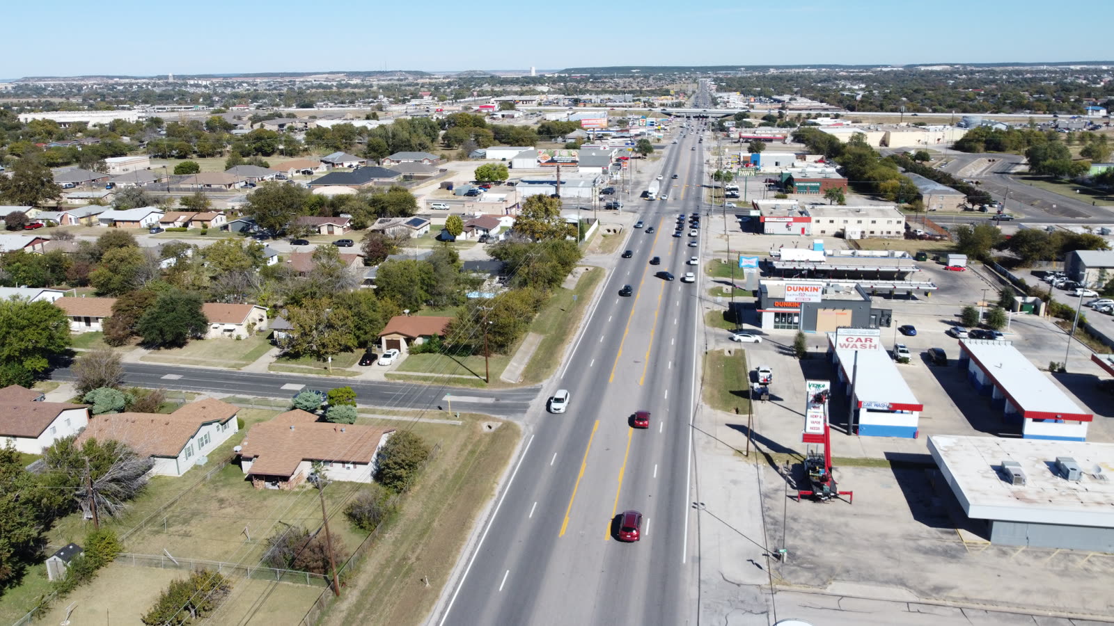
Every project decision downstream inherits the quality of your baseline data. A rushed or incomplete pre-construction drone site survey creates measurement gaps that resurface as change orders, disputed quantities, and schedule slips once crews mobilize.
A conventional ground survey of a 40-acre parcel can take a two-person crew several days and produces a sparse point set — a few hundred shots across the site. A drone captures thousands of overlapping images in a single flight, generating a dense orthomosaic and 3D surface model that documents the entire terrain rather than sampled points. That density is what lets a site engineer compare design grades against existing conditions with confidence.
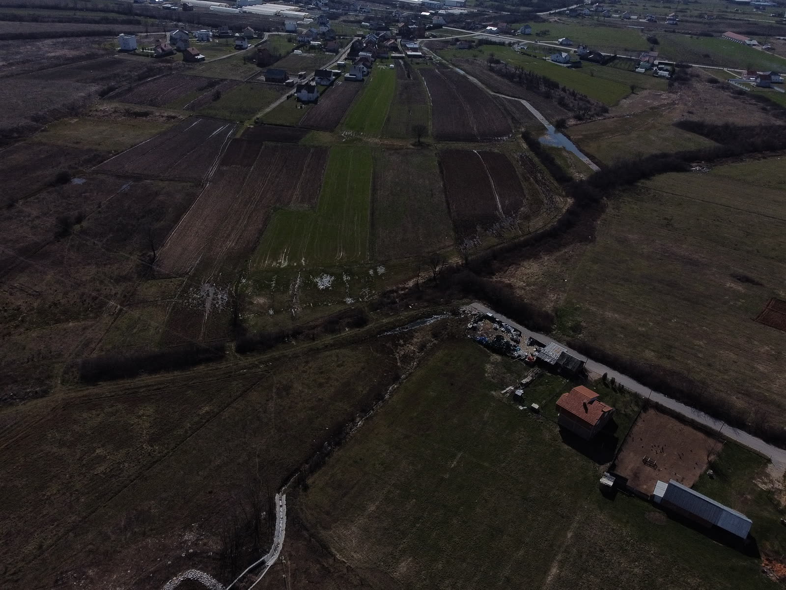
Beyond volume, the survey establishes the legal and financial reference point for the job. It documents pre-existing drainage patterns, tree lines, utility corridors, adjacent structures, and encroachments before a single blade of grass is disturbed. When a neighbor later claims your grading changed their runoff, or an owner questions an earthwork invoice, the pre-construction dataset is the record everyone returns to.
In the Austin metro, where sites are frequently sold and permitted on compressed timelines, having a same-week baseline can be the difference between breaking ground on schedule and waiting on a survey crew's backlog. The checklist below breaks the process into four phases so nothing gets skipped.
The work that happens before the drone leaves the case determines whether the flight is usable. Roughly 70% of failed survey missions trace back to planning gaps, not equipment failures.
Check the site against FAA airspace maps. Much of the Austin metro sits under controlled airspace tied to Austin-Bergstrom, Georgetown, and other airfields, which requires LAANC authorization before flight. Verify the operator holds a current Part 107 certificate and that any night or beyond-visual-line-of-sight work has proper waivers.
Decide what the output must support: an orthomosaic for planning, a topographic surface with contours, volume calculations, or a full point cloud for design. The intended use dictates flight altitude, overlap, and whether survey-grade ground control is needed.
Planning-grade imagery may tolerate several inches of error. Grading and earthwork verification typically demand 1 to 2 cm horizontal and 2 to 3 cm vertical accuracy, which requires RTK positioning plus checkpoints. Agreeing on tolerance early prevents an expensive reflight.
Pull the boundary survey, any recorded easements, utility as-builts, and the civil design files. These let the pilot plan flight boundaries, avoid overflying restricted areas, and later align the drone data to project datum and coordinate system.
Also confirm two logistical items that are easy to overlook: property access permission from the owner, and a weather window. Wind above roughly 20 mph, active precipitation, and heavy overcast that flattens shadows all degrade a survey. Central Texas mornings in spring and fall usually offer the calmest, clearest windows.
Field procedure separates a defensible survey from a pretty picture. This is where measurable accuracy is either locked in or lost.
Before launching, do a physical walkthrough to identify obstructions the map may not show: new power lines, cranes, tall trees, and adjacent occupied buildings. Note takeoff and landing zones on stable, level ground away from foot traffic.
For survey-grade work, distribute five or more ground control points across the site, including one near each corner and one in the center. Mark them with high-contrast targets and record each position with survey-grade GPS tied to the project datum.
Set a few additional surveyed points that are not used to build the model. These become the honest test of accuracy when you validate the deliverable, rather than relying only on the software's internal estimate.
Calibrate the drone's compass and IMU on site, confirm the camera settings match the mission, and stage enough charged batteries to cover the full area plus a margin. A 40-acre RTK mapping mission can consume several battery cycles.
If the drone uses RTK or PPK, confirm the base station has a stable position lock before the first flight line. A drifting base fix contaminates every image geotag, and the problem often is not obvious until processing fails. Even with RTK, the ground control points remain the safety net that catches datum and elevation errors.
Consistency in the air produces clean data on the ground. Automated mission planning removes most of the human error from this phase.
Run the survey as an automated grid or corridor mission rather than flying manually. Mapping software plots parallel flight lines at a fixed altitude with defined image overlap — commonly 75% front overlap and 65% side overlap for terrain, and higher when the site has dense vegetation or complex vertical features. Higher overlap means more images and longer processing, but it dramatically reduces holes in the final model.
Choose altitude based on the accuracy target and the drone's camera. Flying lower yields a finer ground sample distance, meaning each pixel represents a smaller patch of ground, but it takes more flight lines and batteries to cover the same area. A typical pre-construction survey balances these at an altitude that delivers roughly 2 to 3 cm per pixel.
Before leaving the site, review image thumbnails to confirm coverage, exposure, and focus. Discovering a gap or a bank of blurry frames while the crew is still on location costs minutes; discovering it back at the office costs a return trip. A quick field check is the cheapest insurance in the entire workflow.
Raw images are not a survey. Processing converts them into the measurable products the project team actually uses, and validation confirms they can be trusted.
Photogrammetry software aligns the overlapping images, ties them to the ground control points, and builds a dense point cloud, a digital surface model, and a georeferenced orthomosaic. From those core products the team derives contour lines, cross sections, and volume calculations. The processing report should include the accuracy achieved against the independent checkpoints — this is the number that belongs in the project record, not a vague quality claim.
A single distortion-corrected aerial image of the entire site at true scale, useful for planning, permitting exhibits, and measuring distances and areas directly.
The digital surface or terrain model with contours, used to compare existing grades against the civil design and to plan cut and fill.
The dense 3D dataset that imports into civil and BIM software for design overlay, clash checks, and detailed measurement.
Baseline stockpile and earthwork volumes that become the reference for tracking material movement once construction begins.
Deliver the data in formats the design team can open — common choices include GeoTIFF for imagery, LAS for point clouds, and DXF or LandXML for surfaces and contours. Confirm the coordinate system and vertical datum match the project's civil files so nothing has to be re-projected by hand. Ceezaer processes most pre-construction surveys within a 48-hour turnaround and layers AI-assisted analytics on top, flagging drainage concerns and quantity anomalies that a raw dataset alone would not surface. The finished package should let a project engineer open the files and start comparing design to reality the same day.
© 2026 Ceezaer™ Drone Services. This article was written and published by Ceezaer (ceezaer.com). All rights reserved — reproduction or republication without written permission is prohibited. Original URL: https://ceezaer.com/blog/pre-construction-drone-site-survey-checklist
Breaks down what to budget for the mapping deliverables this checklist produces.
Explains how the baseline survey becomes accurate cut, fill, and stockpile numbers.
Deep dive on the orthomosaic deliverable central to any site survey.