
Written by Ceezaer Drone Services
Official publication of ceezaer.com — Veteran-Owned · FAA Part 107 · Round Rock, TX
Official publication of ceezaer.com — Veteran-Owned · FAA Part 107 · Round Rock, TX
A traditional earthwork survey on a 40-acre Central Texas site can take a two-person crew three to five days and cost several thousand dollars per visit. Drone mapping captures the same terrain in under an hour and delivers survey-grade volume data within 48 hours. For grading contractors watching dirt-balance budgets, that difference reshapes how projects get bid and managed.
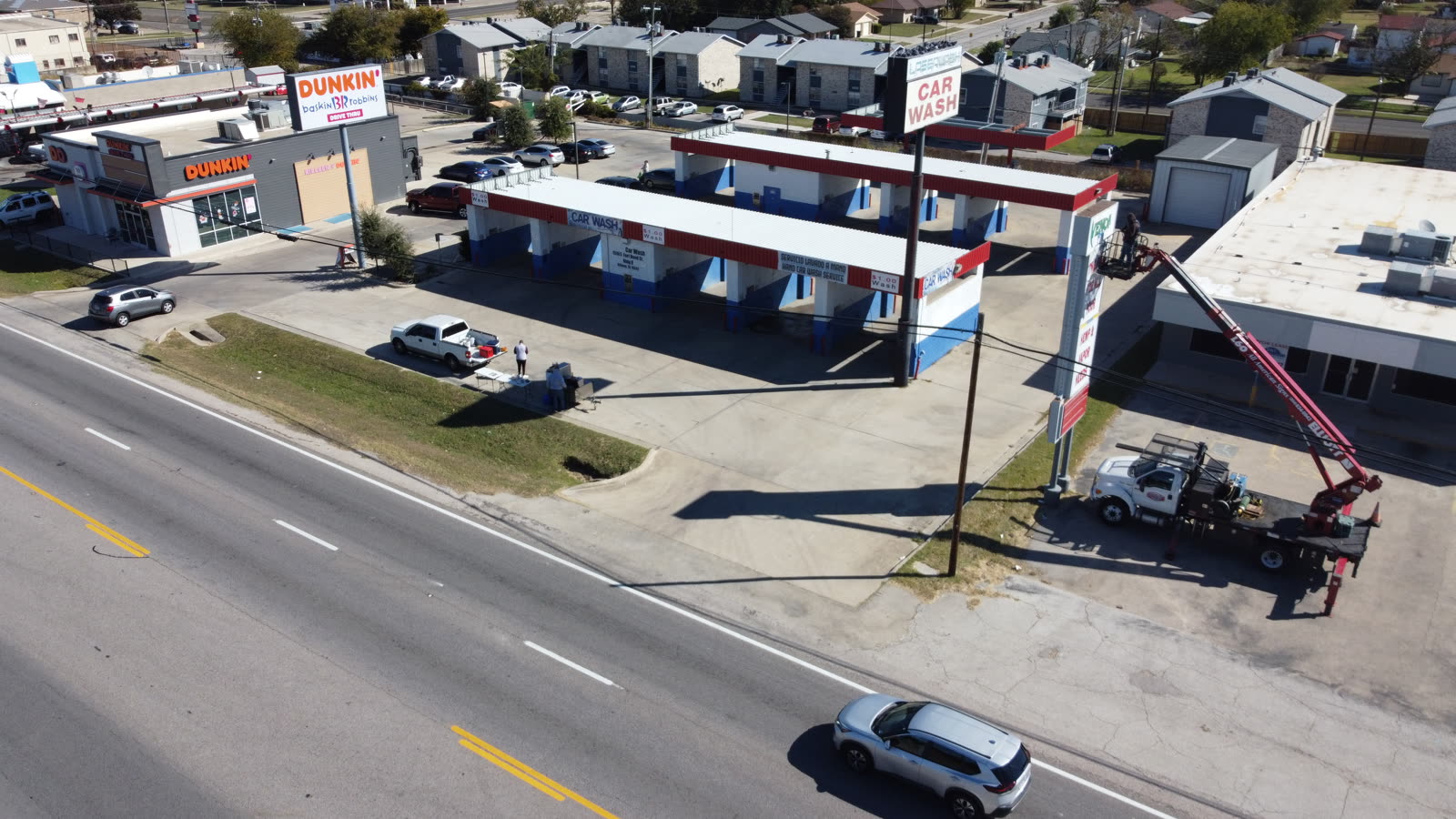
Earthwork is where Texas site projects win or lose money. Underestimate cut-and-fill volumes and you pay for extra haul trucks, imported fill, or off-site disposal that was never in the bid.
Traditional earthwork surveying relies on a survey crew walking the site with a total station or GPS rover, capturing points one at a time. On rolling Central Texas terrain, a crew might record a few hundred to a few thousand points across a 30 to 50 acre site. Every point is a judgment call about where the ground breaks, and the space between those points is interpolated. The gaps hide volume.
The cost adds up in two ways. First, each survey visit runs roughly $2,500 to $4,500 for a mid-size site, and earthwork projects need repeat surveys as grading progresses. Second, low point density produces coarse surfaces, and coarse surfaces produce volume errors. A 5 percent error on a 100,000 cubic yard job is 5,000 cubic yards. At $8 to $15 per yard to move and place, that single miscalculation can swing $40,000 to $75,000.
Drone mapping attacks both problems. It replaces sparse manual points with millions of measured points, and it collapses a multi-day field effort into a single flight.
The workflow is straightforward but the details determine whether your numbers hold up in a pay dispute.
Before flying, the crew places ground control points (GCPs) across the site and records each with survey-grade GNSS. GCPs tie the aerial data to real-world coordinates and are what push accuracy into the 1 to 3 centimeter range. On active grading sites, RTK or PPK drones reduce the number of GCPs needed but do not fully replace them for bankable volumes.
The drone flies a pre-programmed grid at a fixed altitude, capturing overlapping images, typically 75 to 80 percent front and side overlap. A 40-acre site takes 30 to 60 minutes of flight time depending on required resolution. The pilot never guesses coverage; the software guarantees it.
Overlapping images are processed into a dense point cloud, an orthomosaic, and a digital terrain model. Software matches common pixels across hundreds of photos to triangulate 3D positions, producing tens of millions of measured points across the site.
With a reference surface, either a design grade or a prior survey, the software computes cut and fill by comparing surfaces cell by cell. You get total cubic yards, a cut-fill balance, and color heat maps showing exactly where dirt needs to move.
The output is not a single number on a page. It is a spatial record you can query, remeasure, and defend. If a hauler disputes a quantity, you overlay the surfaces and show the difference on the map.
The savings are not theoretical. They show up in field hours, survey invoices, and avoided rework.
A ground crew that needs three days on a 40-acre site is replaced by a single flight plus GCP placement, usually a half-day of on-site work. That is roughly an 85 percent reduction in field data collection time, and it means grading crews are not waiting on survey.
Earthwork projects need progress surveys, often monthly or at milestones. At $3,000 to $4,000 per conventional visit, a six-month project can spend $18,000 to $24,000 on surveying alone. Drone flights at a fraction of that cost make frequent measurement affordable.
A manual survey might capture one point every 25 to 50 feet. Drone mapping delivers ground sample distances of 1 to 3 centimeters, meaning the terrain model reflects actual grade rather than interpolated guesses. Denser data means tighter volumes.
Because every flight is archived, disagreements over pay quantities get settled with data, not opinions. A documented cut-fill history protects contractors during change orders and owner audits.
For a typical Central Texas grading contractor running several active sites, replacing quarterly full surveys with monthly drone flights often reduces total survey spend by 40 to 60 percent while increasing measurement frequency. More data, lower cost, is the rare combination that actually happens here.
The honest answer is: yes, when the workflow is done correctly, and it depends on what accuracy you actually need.
With well-distributed ground control and proper flight planning, drone photogrammetry consistently achieves 1 to 3 centimeter horizontal accuracy and 3 to 5 centimeter vertical accuracy. Vertical accuracy matters most for volumes, since cut and fill are driven by elevation differences. Independent studies comparing drone-derived volumes to conventional surveys routinely find agreement within 1 to 2 percent on open, well-controlled terrain.
Where drone mapping struggles is under dense vegetation and standing water. Photogrammetry measures the visible surface, so heavy brush reads as ground unless it is cleared or filtered. For heavily vegetated sites, LiDAR is the better tool because it penetrates canopy. On cleared and graded Texas job sites, which is most active earthwork, photogrammetry is more than adequate and far cheaper.
A few practical rules keep the numbers bankable:
As a veteran-owned, FAA Part 107 certified operator based in Round Rock, Ceezaer builds ground control and checkpoint verification into every earthwork mapping flight, then delivers processed volume reports within 48 hours so grading decisions are not held up waiting on data.
Adopting drone mapping for earthwork does not require buying hardware or retraining your crew.
Most Central Texas contractors start by contracting the flights and processing, then integrating the deliverables into their existing grading workflow. The outputs, point clouds, terrain models, contours, and volume reports, import directly into Civil 3D, Trimble Business Center, and most machine-control platforms. Your grade checkers and estimators keep working in the software they already know; they simply work from richer data.
A sensible rollout looks like this: fly an initial baseline before earthmoving begins to establish existing conditions, then fly at regular intervals to track progress and update the cut-fill balance. Compare each flight against the design surface to see remaining work in cubic yards, and against the prior flight to verify production. This rhythm turns survey from an occasional expense into a routine management tool.
The regulatory side is manageable but real. Commercial drone flights in Texas require a Part 107 remote pilot, and sites near Austin-Bergstrom or other controlled airspace need LAANC authorization before flying. Working with a licensed, insured operator keeps compliance and liability off your plate. On a fast-moving grading project, that predictability is worth as much as the survey savings.
© 2026 Ceezaer™ Drone Services. This article was written and published by Ceezaer (ceezaer.com). All rights reserved — reproduction or republication without written permission is prohibited. Original URL: https://ceezaer.com/blog/drone-mapping-earthwork-survey-costs-texas
A deeper look at the volume math behind cut-and-fill reporting.
How the mapping deliverables that power volume reports are built.
Choosing the right sensor for vegetated versus cleared terrain.