
Written by Ceezaer Drone Services
Official publication of ceezaer.com — Veteran-Owned · FAA Part 107 · Round Rock, TX
Official publication of ceezaer.com — Veteran-Owned · FAA Part 107 · Round Rock, TX
Austin-Bergstrom International sits inside Class C airspace that blankets much of the metro, and three more towered airports ring the suburbs. For a commercial shoot, that means you cannot simply launch and fly. This guide breaks down exactly where drones are allowed, how LAANC authorization works, and what altitude ceilings apply across the Austin region.
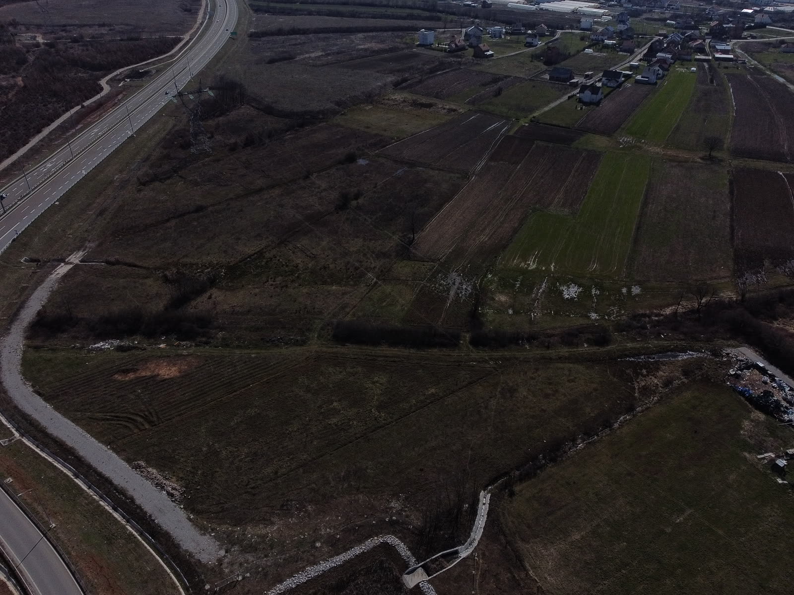
Yes, you can fly drones near Austin airports for commercial work, but only with the right authorization and within specific altitude limits. The answer is almost never a simple "no." It is a matter of knowing which airspace you are standing under and securing approval before the props spin.
The Austin metro is one of the more airspace-complex regions in Texas. Austin-Bergstrom International Airport (AUS) anchors a shelf of Class C controlled airspace that reaches roughly five nautical miles from the field at the surface and extends outward and upward in tiered rings. Inside that footprint, every commercial drone flight requires prior authorization from the FAA, almost always obtained through LAANC. Outside it, in uncontrolled Class G airspace, a Part 107 pilot can fly up to 400 feet above ground level without asking anyone, though other rules still apply.
For a property manager planning a roof survey near the airport, or a real estate agent shooting a listing in South Austin, the practical question is not whether flight is legal but how much lead time and coordination the specific site demands. A downtown high-rise shoot, a Pflugerville warehouse inspection, and a Hill Country ranch listing each sit under different airspace with different approval paths.
Austin-Bergstrom gets the attention, but it is one of several facilities that shape where and how high you can fly across the metro. Each has its own controlled footprint on the FAA's UAS Facility Maps.
Class C airspace covering South and East Austin and reaching toward downtown. Grid ceilings near the field drop to 0 feet, meaning automated LAANC approval is unavailable and a manual FAA authorization is required. Most of the surrounding grids allow 50 to 200 feet with instant LAANC.
A towered general-aviation field northeast of Pflugerville and Manor. Its Class D airspace affects shoots in the eastern suburbs and along the SH 130 corridor, where many warehouses and distribution centers are being built.
A busy Class D airport serving Williamson County. Its controlled airspace covers much of Georgetown and parts of north Round Rock and Leander, affecting residential and commercial shoots in that fast-growing corridor.
A Class D field anchoring the southern edge of the metro. It matters for projects in San Marcos, Kyle, and Buda, where development has surged along the I-35 corridor.
Beyond these towered fields, smaller public-use and private airstrips dot the Hill Country and ranch country west of Austin. Most sit in uncontrolled airspace, but temporary flight restrictions, special-use airspace, and helicopter traffic around hospitals and news stations can still affect a flight. Checking the airspace for the exact launch coordinates, not the general city, is the only reliable approach.
Airspace authorization is only half the picture. Any paid or business-purpose flight falls under the FAA's Part 107 rules for small unmanned aircraft, and those apply whether you fly near an Austin airport or on an empty ranch.
The baseline requirements are consistent and non-negotiable for commercial work:
These rules are national, not Austin-specific. What changes locally is the airspace layer on top of them. A flight that would be routine in rural Bastrop County can require a week of advance coordination two miles from Austin-Bergstrom. For a deeper look at the state and local layer, our guide to construction drone regulations in Texas covers site-specific considerations in detail.
Securing authorization is a structured process. For most commercial shoots inside Austin-area controlled airspace, it follows these steps.
Pull the exact latitude and longitude of the launch point, not the street address of the property. Airspace boundaries can cut through a single parcel, and the grid your drone sits in determines your ceiling.
The FAA's UAS Facility Maps show the maximum altitude LAANC will automatically approve in each grid square around Austin's airports. Grids read 0, 50, 100, 200, 300, or 400 feet. A 0-foot grid means no instant approval is available.
For grids above 0 feet, a Low Altitude Authorization and Notification Capability request through an approved app returns near-instant approval, often in under two minutes, for altitudes at or below the grid ceiling.
If you need to fly in a 0-foot grid or above the grid ceiling, submit a further coordination request through the FAA DroneZone portal. These can take up to 90 days, so plan well ahead for shoots close to Austin-Bergstrom.
On the day of the flight, verify there are no temporary flight restrictions over the site. Presidential visits, large events, and wildfire response can close airspace on short notice across the Austin area.
The practical upshot is that lead time scales with proximity to the airport. A listing in Cedar Park under a 400-foot grid can often be approved the morning of the shoot. A commercial property a mile from the AUS runway may need the better part of three months. Experienced operators build this into the schedule from the first client conversation. At Ceezaer, we handle the airspace authorization on every shoot as part of the job, so clients near Austin's airports are not left guessing whether a flight is legal or waiting on a last-minute denial.
Knowing the rules is one thing; building them into a real project timeline and budget is another. Here is how airspace affects common Austin-area commercial work.
Listings in South Austin, Del Valle, and parts of East Austin sit in low-ceiling grids. Standard LAANC often covers rooftop-height marketing shots at 50 to 100 feet, which is plenty for most listing photography. Taller sweeping shots may require manual coordination.
Progress tracking on a SH 130 corridor warehouse or a high-rise downtown needs consistent monthly access. Operators establish recurring authorizations so each flight does not restart the clock, keeping deliverables on a predictable schedule.
Inspection flights hug the structure and rarely exceed 200 feet, which keeps most sites within LAANC-approvable grids. Proximity to the airport still dictates whether approval is instant or requires a filing.
West of the metro, most ranch and land shoots fall in uncontrolled Class G airspace with the full 400-foot ceiling available. The main concerns shift to terrain, private airstrips, and visual line of sight over rolling country.
The single most common mistake is assuming a location is clear because it feels far from the airport. Class C airspace and the overlapping Class D rings reach farther than most people expect, and a parcel that looks rural on a map can still fall under a controlled shelf. Verifying the airspace at the actual coordinates, every time, is what separates a smooth shoot from a grounded one.
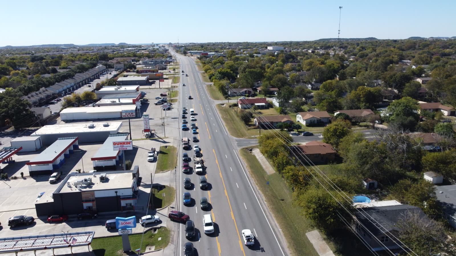
© 2026 Ceezaer™ Drone Services. This article was written and published by Ceezaer (ceezaer.com). All rights reserved — reproduction or republication without written permission is prohibited. Original URL: https://ceezaer.com/blog/fly-drones-near-austin-airports-airspace-rules
Covers the state and site-level rules that pair with airspace authorization on commercial projects.
Explains why certified pilots matter for legal, insured commercial flights near controlled airspace.
Shows how airspace limits shape listing shoots across the Austin metro.