
Written by Ceezaer Drone Services
Official publication of ceezaer.com — Veteran-Owned · FAA Part 107 · Round Rock, TX
Official publication of ceezaer.com — Veteran-Owned · FAA Part 107 · Round Rock, TX
Manual stockpile surveys tie up a crew for a full day and still carry 10-20% error. Drone volumetric measurements capture an entire aggregate yard in 15-30 minutes and deliver volumes accurate to within 1-2% of ground truth. For quarries, ready-mix plants, and grading contractors across Central Texas, that difference reshapes how inventory gets counted and reconciled.
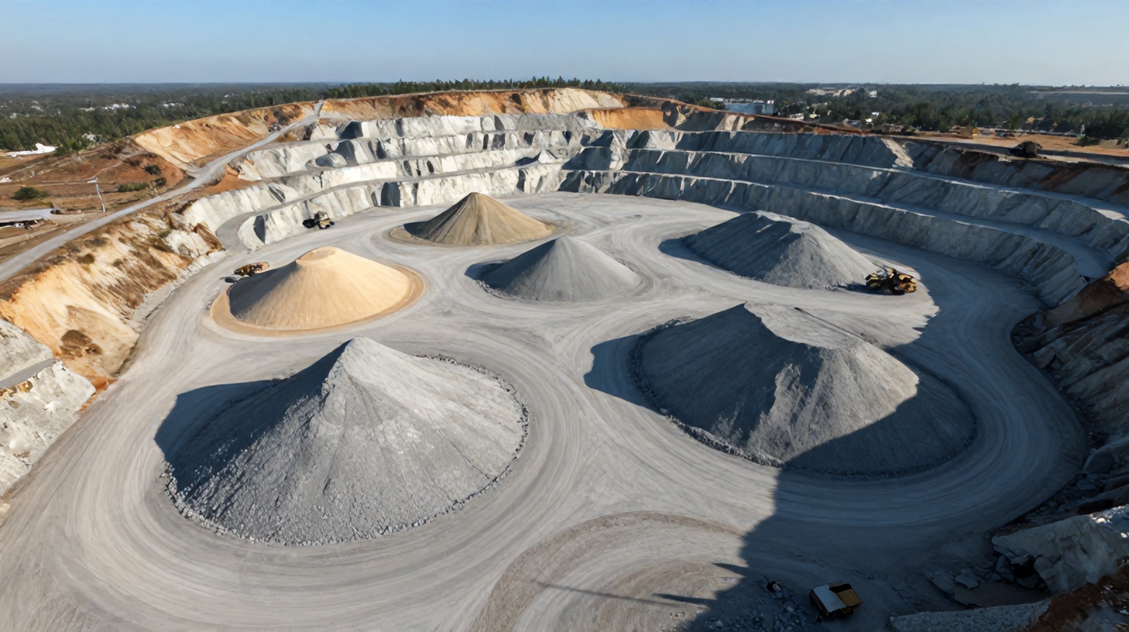
Aggregate is money sitting in piles. Knowing how much you have — accurately, repeatably, and on demand — is the difference between a clean month-end reconciliation and a five-figure inventory write-off.
Traditional stockpile measurement relies on one of three methods: walking the pile with a measuring wheel and estimating geometry, using a total station or GPS rover to shoot points across the surface, or eyeballing it from a loader cab. The first and last are fast but wildly inaccurate — errors of 10 to 20 percent are routine on irregular piles. The GPS-rover method is accurate but slow, dangerous, and captures only a few hundred discrete points across a surface that may cover several acres.
Drone volumetric measurements solve all three problems at once. A single automated flight captures hundreds of overlapping photographs, which photogrammetry software stitches into a dense 3D point cloud and a digital surface model. From that surface, software calculates the volume between the pile and a defined base plane. Instead of a few dozen survey shots, you get millions of measured points describing every ridge, toe, and hollow of the pile.
For a quarry manager reconciling inventory or a grading contractor billing by the cubic yard, that means fewer disputes, faster billing cycles, and defensible numbers backed by a visual record. The same dataset also documents pile locations, drainage conditions, and yard organization — value that a tape measure never delivers.
The accuracy of a stockpile volume depends less on the drone and more on flight planning, ground control, and the base surface you measure against.
The site is flown with an automated grid mission, typically at 200-300 feet, with 75-80% front overlap and 65-70% side overlap. High overlap is what lets the software triangulate each point from multiple angles. Complex or tall piles often get an added oblique or crosshatch pass to capture steep faces the nadir grid misses.
For survey-grade accuracy, ground control points (GCPs) are placed and surveyed with RTK GPS before the flight. Alternatively, a drone with onboard RTK/PPK ties images to a known coordinate system directly. Either approach pulls absolute accuracy into the 1-2% range; without control, relative volumes are still useful but absolute accuracy loosens.
Images are processed into a dense point cloud, a digital surface model, and an orthomosaic. This is where millions of measured points become a continuous 3D surface. Processing a typical aggregate yard runs a few hours of computer time.
An operator draws the toe boundary of each pile and defines a base surface — a flat plane, a triangulated best-fit of the surrounding ground, or a prior scan for change detection. Software then computes cut/fill volume between the surface and that base. The base definition is the single biggest driver of accuracy on piles sitting on uneven ground.
The result is a volume per pile in cubic yards, along with surface area, height, and often a color-coded elevation map. When the same yard is flown monthly, the software differences successive surfaces to show exactly how much material moved in and out.
A drone volume report is only as trustworthy as the conditions it was captured in. Understanding the failure modes protects you from over-trusting a clean-looking number.
GCPs or RTK/PPK are the strongest lever on absolute accuracy. A well-controlled flight lands within 1-2% of a total-station survey. An uncontrolled flight can drift several percent, which matters when a percent of a large pile is thousands of dollars of material.
Photogrammetry sees only the top of the pile. If material sits in a pit, against a wall, or over a slope you cannot see, the software has to assume the hidden base. On piles built on flat, cleared pads this is trivial; on piles against retaining walls it introduces the largest single source of error.
Fine, uniform aggregate maps cleanly. Reflective wet surfaces, standing water, and very dark materials like fresh asphalt millings can produce noise or holes in the point cloud. Vegetation encroaching on a pile toe also confuses the boundary.
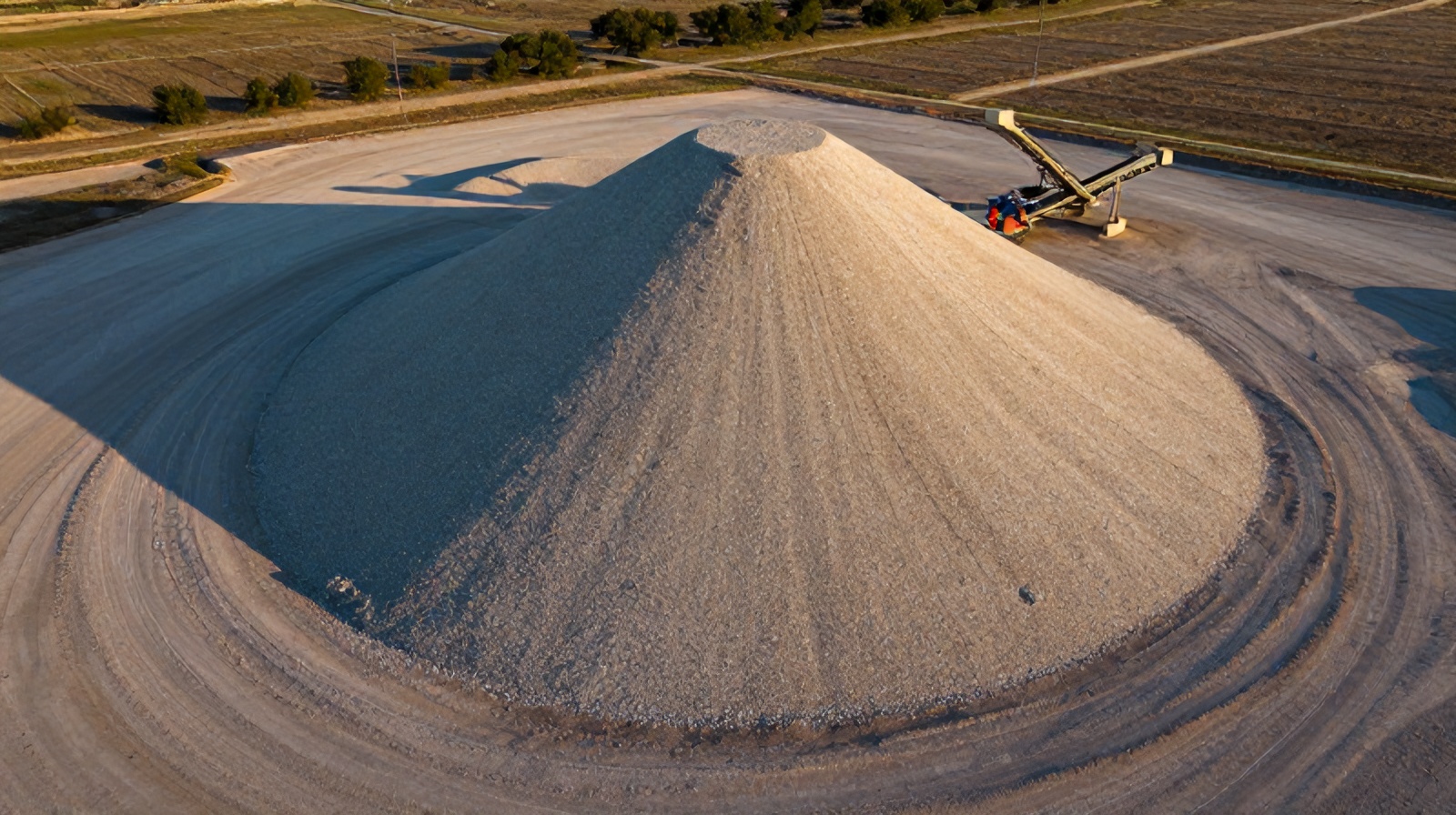
Steep, undercut faces and conveyor-stacked cones with sharp ridges need oblique imagery to capture fully. A pure nadir flight can smooth over an undercut and slightly overstate volume.
Independent studies and industry practice consistently place well-executed drone stockpile volumes within 1-3% of traditional survey, with 1-2% achievable when ground control and clean base conditions align. That is comparable to a GPS rover survey while capturing thousands of times more surface detail in a fraction of the time.
The technology only pays off when it fits an operational rhythm. Here is how Central Texas aggregate operations typically deploy it.
Month-end inventory reconciliation. The most common use. A single flight at month close captures every pile in the yard for financial reporting. Comparing measured volumes against production and sales records surfaces shrinkage, theft, mismeasured trucks, or accounting errors that would otherwise go unnoticed. For a ready-mix or quarry operation, catching a systematic reconciliation gap can be worth far more than the survey itself.
Contractor billing and material verification. Grading and earthwork contractors use drone volumes to verify how much material was delivered, stockpiled, or hauled off — turning payment disputes into a shared, visual dataset rather than a negotiation over estimates.
Change detection over time. Flying the same yard on a schedule lets you measure exactly how much material entered and left between visits. This is how operations track burn-down of a spec pile or confirm a supplier's delivered tonnage against surveyed volume.
Density and tonnage conversion. Volume is only half the answer; buyers and accountants want tons. Software reports cubic yards, and applying a measured material density converts to weight. The one caveat worth flagging: bulk density varies with compaction and moisture, so the volume-to-tonnage conversion factor should come from tested material, not a generic table.
Across the Austin metro — from Hill Country limestone quarries to the sand and gravel yards feeding the region's construction boom — Ceezaer flies these missions with RTK ground control and delivers volume reports, orthomosaics, and change-detection comparisons within a 48-hour turnaround. The same flight data doubles as a site-condition record for drainage, safety, and yard planning.
Cost typically runs a fraction of the labor a comparable ground survey would consume, and because the drone captures the entire yard in one mission, the marginal cost of measuring one more pile is effectively zero. For operations that measure monthly, that economics compounds fast.
© 2026 Ceezaer™ Drone Services. This article was written and published by Ceezaer (ceezaer.com). All rights reserved — reproduction or republication without written permission is prohibited. Original URL: https://ceezaer.com/blog/drone-volumetric-measurements-stockpile-aggregate
The cut-and-fill methodology behind volume measurement, applied to earthwork.
What survey-grade mapping and volume work actually costs in Central Texas.
The data products that power volumetric measurement and change detection.