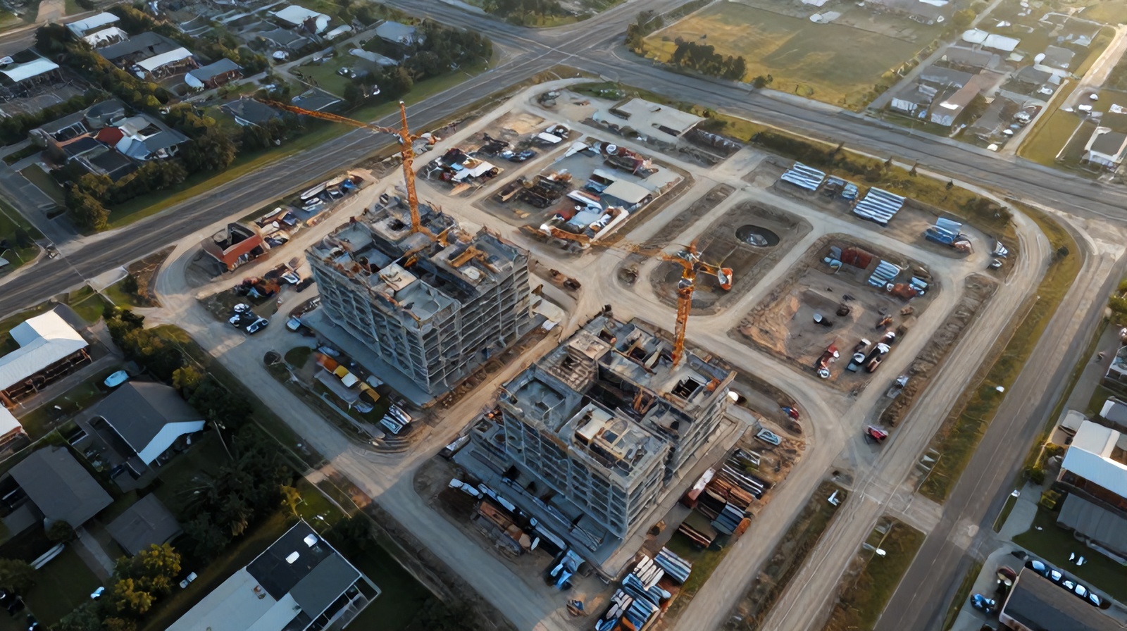
From weekly drone captures to compelling progress videos — the complete workflow for general contractors, developers, and project owners who want to document every phase without spending weeks on manual footage.
Not just a video — a structured documentation system that creates audit-ready records and marketing assets simultaneously.
Aerial construction time-lapse is the process of capturing standardized drone photographs of a project site at regular intervals — typically weekly or bi-weekly — and assembling those images into a compressed video that shows the entire build sequence from ground break to occupancy. Unlike fixed-position time-lapse cameras mounted on scaffolding or nearby buildings, aerial time-lapse is captured from a consistent altitude and nadir angle by a FAA Part 107 certified drone pilot, giving a true bird's-eye perspective of the full site rather than a single corner of the structure.
The key distinction between aerial time-lapse and simple aerial photography is the systematic repeatability. Every capture happens from the same GPS waypoints, at the same altitude, with the same camera settings — creating a visually seamless sequence when assembled into video. Modern drone flight planning software locks in these parameters so even if different pilots fly on different dates, the footage aligns frame-for-frame.
This consistency transforms raw aerial photography into a construction documentation asset with multiple downstream uses: stakeholder reporting, marketing content, dispute evidence, scheduling analysis, and regulatory compliance documentation.
Each flight follows identical pre-programmed GPS coordinates, ensuring frames align perfectly across dozens of site visits spanning months or years.
Aperture, shutter speed, white balance, and altitude are locked per project so lighting differences between flights don't create jarring transitions in the assembled video.
Weekly, bi-weekly, or milestone-based captures ensure the time-lapse tells a complete story without visual gaps that confuse viewers about what happened between visits.
Raw images are color-graded, stabilized, and assembled into 1080p or 4K video with optional overlays showing dates, phase labels, and project metadata.
From initial flight planning through final video delivery — here's what happens behind the scenes on every Ceezaer time-lapse project.
Before the first flight, our pilot surveys the site, identifies airspace requirements, and programs a GPS waypoint mission in DJI Pilot 2 or Litchi. For urban sites in the Austin metro area, we file LAANC authorizations through the FAA DroneZone system. The flight plan includes capture altitude (typically 100–200 ft AGL), camera gimbal angle (straight nadir for mapping, 30° for cinematic), and orbit radius for perimeter shots. This plan becomes the template reused on every subsequent visit.
We establish a repeating schedule — usually Monday or Tuesday morning to capture the site in a consistent weekday state — and execute autonomous waypoint missions on every visit. Each mission typically takes 15–25 minutes of flight time for a 1–5 acre site. Images are captured in RAW format alongside JPEG previews. Metadata including GPS coordinates, altitude, gimbal angle, and timestamp is embedded in every frame's EXIF data.
After each flight, images are reviewed for motion blur, lens flare, clipping, and alignment consistency. If any capture falls below threshold (due to wind, clouds, or site obstruction), a re-fly is scheduled within 48 hours. Only approved frames enter the master archive. Every image is tagged with visit number, date, and site phase (excavation, foundation, framing, MEP, etc.).
Seasonal lighting changes, cloud cover variation, and time-of-day differences can make individual frames look inconsistent. We apply LUT-based color grading in DaVinci Resolve or Adobe Lightroom to normalize exposure and white balance across the entire sequence. This makes the assembled time-lapse look like it was shot in continuous, controlled conditions rather than across 18 months of changing weather.
The processed stills are assembled at 24 or 30 frames per second. At this frame rate, a 12-month weekly project produces a base time-lapse of approximately 2 seconds. We typically slow it to 12–15 fps for a more watchable result of 4–6 seconds per month of construction, delivering a 45–90 second final video per year of project duration. Date stamps and phase markers are composited onto the footage.
Final videos are delivered in 4K MP4 (H.264 and H.265) and square 1:1 format for social media. RAW archives are stored in AWS S3 with versioned backup and are accessible to the client via a project portal. All footage remains available for dispute documentation, insurance claims, or future marketing use.
Different stakeholders extract different value from the same footage. Here's how GCs, developers, and investors each benefit.
GCs use time-lapse for internal scheduling reviews, subcontractor accountability, and baseline documentation. Comparing weekly captures against the project schedule reveals whether excavation ran two weeks late and whether that delay cascaded into framing. When disputes arise with owners or subs, the aerial record provides objective, timestamped evidence of site conditions on any given date.
Developers leverage time-lapse for investor relations and presales marketing. A 90-second aerial time-lapse showing a site transform from empty land to a nearly-complete mixed-use building is far more compelling than a PDF update. Several Austin-area developers we work with share monthly time-lapse clips in their LP newsletters, consistently reporting higher engagement than static photo updates.
Public infrastructure projects — bridges, road widenings, utility relocations — benefit from aerial time-lapse as public accountability documentation. TxDOT-funded projects in particular use aerial progress footage for public information offices and legislative reporting. The footage also serves as institutional memory when project leadership changes mid-construction.
For commercial real estate developers and architecture firms, construction time-lapse is tier-one content. A completed project with aerial time-lapse footage owns a significant SEO and social media advantage over competitors with only static imagery. The footage can be re-edited into shorter clips, used in award submissions, and repurposed across years of marketing collateral.
Insurance carriers increasingly accept aerial time-lapse as contemporaneous documentation supporting Builder's Risk claims. When a theft, fire, or storm damage event occurs, the footage establishes exactly what was present on site before the incident — invaluable for large commercial projects where equipment and materials can total millions of dollars.
Construction litigation often hinges on questions of what was visible when, who was responsible for what, and whether work was completed before a given date. Aerial time-lapse provides GPS-tagged, timestamped visual evidence that is difficult to dispute. Several Austin construction attorneys have cited aerial documentation as a decisive factor in mediations that would otherwise require expensive forensic investigation.
Fixed cameras on buildings or cranes are the traditional approach. Here's why drone-based aerial time-lapse has overtaken them for most project types.
Fixed camera: One perspective, typically 30–120° horizontal field of view covering a fraction of the site. Multi-camera setups required to cover even a mid-size site.
Drone: Full site coverage from any angle. A single waypoint mission captures nadir overviews, oblique perimeter shots, and close-up detail captures — all in one flight.
Fixed camera: $800–$5,000 per camera for hardware, plus mounting, power, cellular data, and maintenance contracts. Multiple units required for large sites.
Drone: No hardware purchase. Monthly flight service covers all capture, processing, and delivery at a predictable rate.
Fixed camera: Susceptible to theft, vandalism, power outages, and cellular dropouts on active construction sites. Recovery is slow and expensive.
Drone: Equipment never left on site. Weather holds are rescheduled within 48 hours with zero hardware risk.
Fixed camera: Video or photo output only — no spatial metadata, no measurement capability, no orthomosaic generation possible.
Drone: Every capture produces spatially referenced imagery with GPS EXIF data. Frames can be processed into orthomosaics, point clouds, and 3D models in addition to the time-lapse video.
Fixed camera: Position is permanent once installed. As the building rises, the camera perspective may become blocked or irrelevant.
Drone: Flight altitude and angle adapt as the structure grows. Perimeter orbits expand as the building rises to maintain the same proportional view throughout construction.
Fixed camera: Works well in urban settings where adjacent buildings provide stable mounting points.
Drone: Requires LAANC authorization for Class B/C/D airspace. Austin sites near Austin-Bergstrom are flyable with proper authorization — Ceezaer handles all FAA compliance as part of service.
Beyond the marketing value, aerial time-lapse has documented financial returns across scheduling, disputes, and insurance.
The business case for aerial time-lapse is strongest when you account for its multiple simultaneous value streams:
For a typical $5M–$20M commercial construction project in the Austin metro, aerial monitoring with time-lapse output costs $1,200–$2,500/month. Total program cost over an 18-month project: $18,000–$45,000. The break-even point against a single avoided rework event, scheduling dispute, or insurance delay is typically reached within the first 60–90 days.
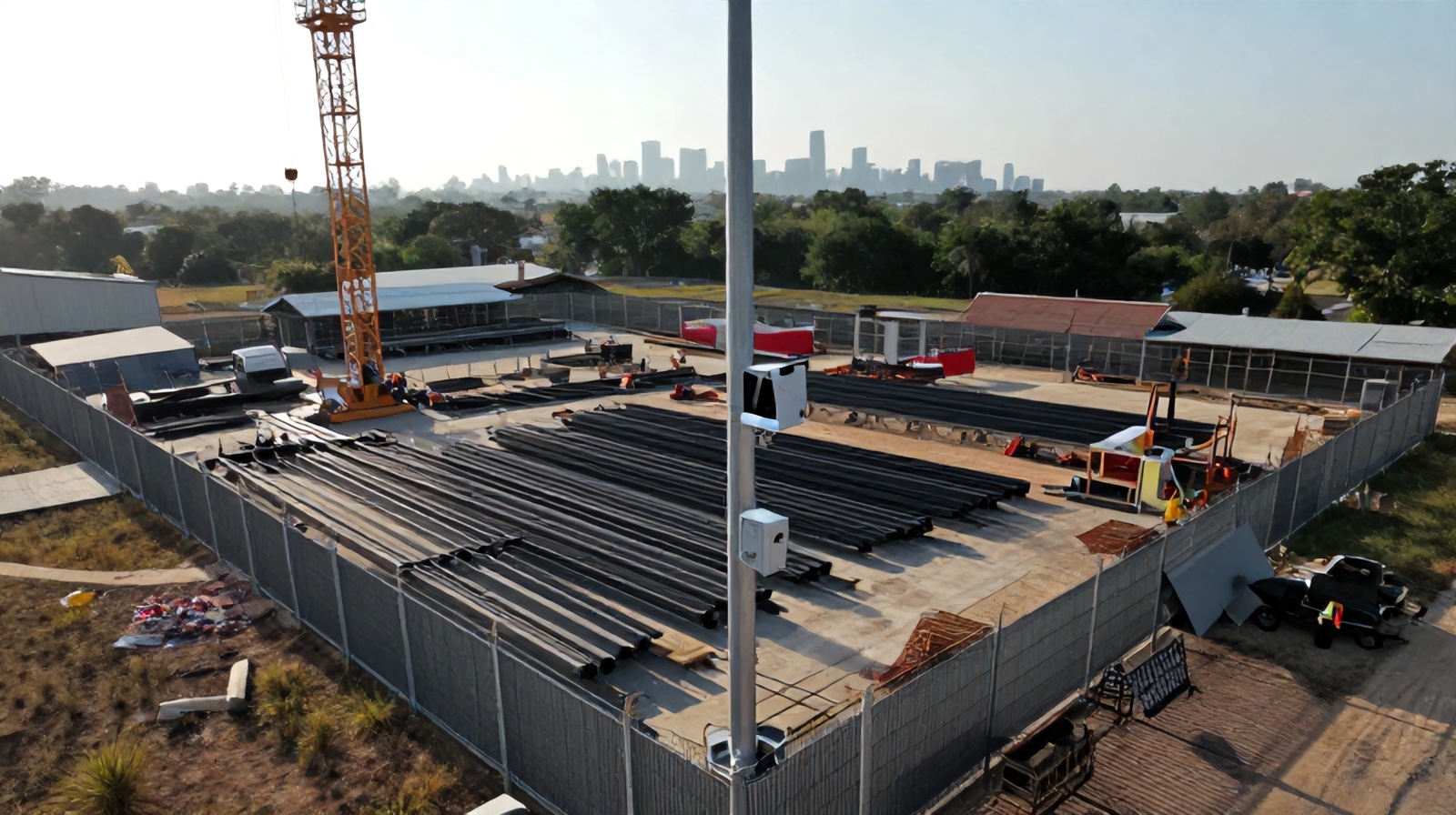
See the full suite of aerial monitoring tools Ceezaer provides for active construction projects in the Austin metro area.
Run the numbers on what aerial monitoring returns on a project your size — with real cost and payback period estimates.
How the same aerial captures used for time-lapse are simultaneously analyzed by AI to flag safety and quality issues.
A plain-English explanation of the machine learning pipeline that powers Ceezaer's automated construction monitoring.