Written by Ceezaer Drone Services
Official publication of ceezaer.com — Veteran-Owned · FAA Part 107 · Round Rock, TX
Official publication of ceezaer.com — Veteran-Owned · FAA Part 107 · Round Rock, TX
Most commercial developers still rely on scattered phone photos and verbal updates to track projects worth tens of millions of dollars. Monthly drone progress monitoring replaces that guesswork with georeferenced imagery, measurable earthwork volumes, and side-by-side timelines. For a typical $20M mixed-use build, the documentation alone can protect six-figure change-order exposure across an 18-month schedule.
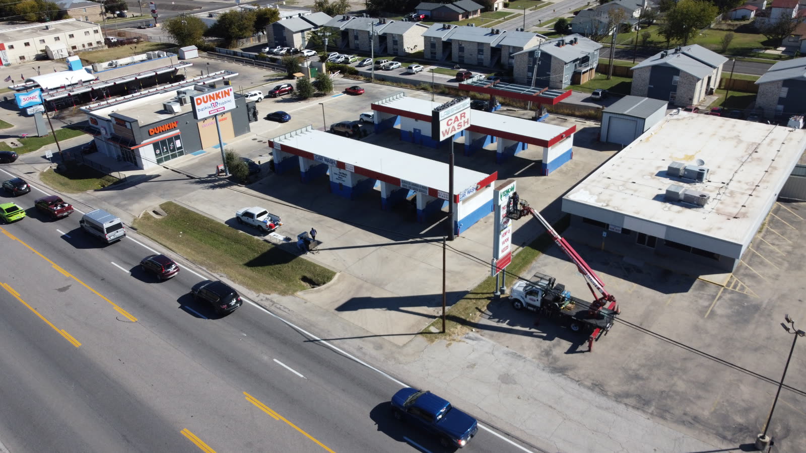
Monthly drone progress monitoring is a recurring aerial data capture program that documents a construction site on a fixed cadence, then processes those flights into orthomosaic maps, 3D models, and progress reports developers can act on.
The core idea is simple: on the same day each month, a Part 107 pilot flies an automated grid over the entire site at a consistent altitude and camera angle. That consistency is what makes the data valuable. Because every flight uses the same flight lines and ground control, images from January align precisely with images from June, so you can see exactly what changed and measure it.
A single visit produces several deliverables. A high-resolution orthomosaic gives you a stitched, distortion-corrected top-down map accurate to within an inch or two when ground control points are used. Oblique imagery captures facades and roof conditions. A point cloud or mesh model supports volume calculations for cut, fill, and stockpiles. Layered on top, annotated progress reports flag what is ahead of or behind the baseline schedule.
For a commercial developer juggling multiple sites, this turns fuzzy narrative updates into a defensible visual record. Instead of asking a superintendent whether the podium slab is poured, you look at a dated, measurable map. That shift from opinion to evidence is the foundation of every ROI argument that follows.
The return comes from several independent savings streams that stack on top of each other. Any one of them can justify the program; together they make the decision straightforward.
Lenders release construction draws against verified progress. Monthly aerial documentation gives your bank and inspector timestamped proof of completed work, cutting the back-and-forth that delays payments. Shaving even one week off a monthly draw cycle improves cash flow across every trade on the project.
Roughly 9 to 10 percent of large project budgets are lost to overruns, and a large share traces back to disputed scope and timing. A dated map showing site conditions on the exact day a claim references often ends an argument before it becomes a lawsuit. One avoided dispute can pay for years of monitoring.
Developers, architects, and out-of-town investors no longer need to drive to every site to understand status. A monthly report viewed from a laptop replaces windshield time. On a portfolio of four sites, that is dozens of trips per year for principal-level staff.
Catching a grading error, a misplaced utility trench, or a lagging trade in month three instead of month five compresses the cost of the fix. Rework is cheapest before the next layer of work buries the mistake.
Here is a representative model. A mid-size commercial site on a monthly program runs about $3,500 to $5,000 per year in Central Texas. Against that, assume the program helps you avoid a single $40,000 change-order dispute, accelerate two draws saving roughly $15,000 in carry costs, and eliminate 20 principal site visits worth $8,000 in loaded time. That is more than $60,000 in defensible value against a low-four-figure cost. Even discounting those figures heavily, the return clears 5x, and it does so on data you already needed to collect for other reasons.
A well-run program is boringly consistent by design. The predictability is what produces comparable data month over month.
Before groundbreaking or at the first flight, the pilot establishes ground control points, sets the automated flight path, and locks in altitude, overlap, and camera settings. This baseline becomes the reference every future flight aligns to.
Flights happen on a fixed monthly date, weather permitting, typically taking 20 to 45 minutes on site depending on acreage. Capturing on the same schedule keeps sun angle and vegetation roughly comparable across visits.
Imagery is stitched into orthomosaics and 3D models, then compared against prior flights and the schedule. Volume changes, footprint progress, and stockpile movement are calculated. AI-assisted tools flag anomalies for human review.
You receive a shareable report with annotated maps, oblique photos, and progress notes. Ceezaer delivers these within 48 hours of the flight, hosted so lenders, architects, and owners can access the same source of truth.
Most developers integrate the monthly deliverable into an existing rhythm: the pay-application meeting, the owner-architect-contractor call, or the lender inspection. The data does not create new meetings; it makes the ones you already hold shorter and more decisive.
Not every project needs the same cadence, but certain conditions make monthly drone progress monitoring especially valuable.
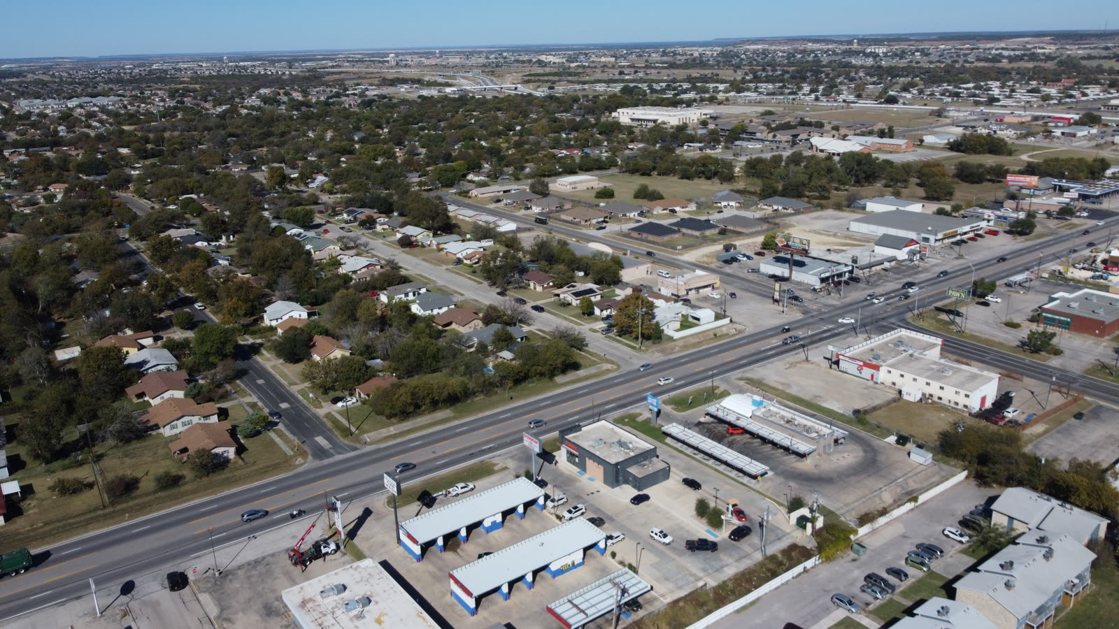
Central Texas is a strong example of all five conditions at once. The Austin metro's sustained commercial pipeline means many developers run multiple large, phased, lender-financed sites simultaneously. Monthly aerial capture scales across that portfolio without adding staff, which is why it has become a standard line item for regional builders rather than a novelty.
It is worth distinguishing monthly monitoring from higher-frequency programs. Weekly or biweekly capture makes sense during intensive phases like mass grading or structural erection, where conditions change fast. Monthly is the efficient baseline for the long middle of a project, and you can adjust cadence up or down as the schedule dictates rather than committing to one frequency for the entire build.
© 2026 Ceezaer™ Drone Services. This article was written and published by Ceezaer (ceezaer.com). All rights reserved — reproduction or republication without written permission is prohibited. Original URL: https://ceezaer.com/blog/monthly-drone-progress-monitoring-roi-developers
Breaks down the full return-on-investment case that monthly programs build on.
Shows how the monthly deliverables are used at the contractor level.
Covers higher-frequency tracking for intensive project phases.