
Written by Ceezaer Drone Services
Official publication of ceezaer.com — Veteran-Owned · FAA Part 107 · Round Rock, TX
Official publication of ceezaer.com — Veteran-Owned · FAA Part 107 · Round Rock, TX
Most general contractors get drone imagery and a folder of photos, then struggle to turn it into decisions. A useful drone construction progress report links measurable data to schedule, budget, and subcontractor accountability. Here is what belongs in one, how often to capture it, and how to read it in under ten minutes.
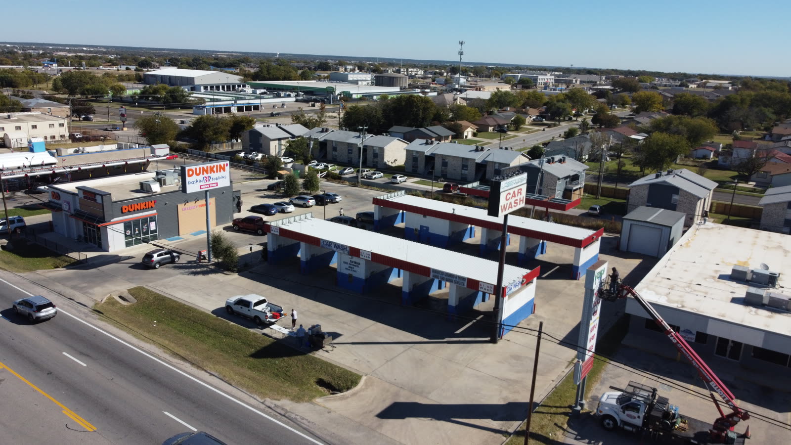
The gap between having aerial imagery and having a decision-ready report is where most drone programs stall. General contractors do not need more pictures. They need answers.
A general contractor managing a $40 million mixed-use build in Central Texas does not lack information. Superintendents walk the site daily, subcontractors submit updates, and the schedule software churns out Gantt charts. What is missing is an objective, time-stamped record that ties the physical state of the site to the schedule and budget. That is the job a drone construction progress report should do.
The typical failure looks like this: a crew flies the site, uploads 400 photos and a two-minute flyover video to a shared drive, and calls it a report. Nobody on the project team has time to sort through it. The imagery is technically accurate and practically useless because it was never structured around the questions a GC actually asks at a weekly owner-architect-contractor meeting.
Industry research is blunt about the stakes. McKinsey has repeatedly documented that roughly 70 percent of large projects run over budget or behind schedule, and that construction productivity has barely improved in decades. Rework alone is estimated to consume a significant share of total project cost. Progress reporting exists to catch the drift early, when a two-day slip is still a two-day slip and not a three-week cascade. A report that no one reads catches nothing.
A report a GC will actually open answers five questions: what got built, is it on schedule, does it match the plans, are there safety or quality issues, and what changed since last time.
A single stitched top-down image of the entire site, accurate to a few centimeters. This is the base map everyone measures against. Overlay it on the site plan to confirm foundations, utilities, and building footprints landed where the drawings said they would.
Percent-complete estimates by area or building, compared against the baseline schedule. The value is not the raw photo but the annotation: "Building B slab pour is four days behind, MEP rough-in unaffected."
Cut-and-fill quantities and stockpile volumes from photogrammetry. On sitework-heavy phases this reconciles against the grading contractor's pay applications and catches over-claims early.
A side-by-side or difference overlay showing what physically changed between flights. This is where a report earns its keep, turning two datasets into one clear answer about weekly production.
Annotated markers for safety hazards, unprotected edges, staging conflicts, drainage problems, or work that appears out of sequence. Each flag should be locatable on the map, not buried in a caption.
A one-page summary the GC can forward to the owner and lender: current status, schedule variance, and two or three notable items. The full dataset stays available for the people who need to dig.
Notice what is not on this list: a cinematic flyover set to music. Marketing footage has a place, and Ceezaer produces it, but it is a separate deliverable from a progress report. Conflating the two is how contractors end up paying for beautiful video that tells them nothing about their schedule.
Flight frequency should match the pace of visible change on site, not a fixed calendar habit. Over-flying wastes money; under-flying misses the window to act.
Weekly, sometimes twice weekly. Earthwork moves fast and volumes change daily. This phase produces the most defensible pay-application data, so frequent capture pays for itself in reconciled quantities.
Weekly during active framing, steel, or concrete. Floor-by-floor progress is exactly what owners and lenders want documented, and a weekly cadence keeps schedule variance visible while it is still correctable.
Every two weeks. Exterior change slows as the building dries in, and much of the meaningful work moves indoors where drones add less value. Pair aerial flights with interior 360 capture if interior documentation matters.
Monthly or milestone-based. Aerial value drops sharply once the envelope is complete. Reserve flights for roof verification, final sitework, landscaping, and paving before turnover.
For a typical 12-to-18-month commercial project in the Austin metro, that pattern averages out to roughly two to four flights per month across the life of the job, weighted heavily toward the early phases. A fixed weekly contract across all 18 months usually means you are paying for flights that document a building where almost nothing outdoors is changing.
The point of a drone construction progress report is not documentation for its own sake. It is faster, better-supported decisions and cleaner accountability.
The most immediate return is in disputes and pay applications. When a subcontractor claims 80 percent completion and the georeferenced imagery shows closer to 60, that conversation happens with data instead of opinions. Contractors who adopt structured aerial monitoring commonly report that the ability to verify claimed progress against objective imagery pays for the entire program in a single avoided overpayment or defended change order.
The second return is schedule protection. A weekly change-detection overlay surfaces slippage while it is measured in days. Catching a drainage-plumbing conflict from an annotated map before the slab is poured is dramatically cheaper than discovering it after. This is where AI-assisted analysis is genuinely useful: computer vision can flag that a foundation area has not changed across three consecutive flights, or that material staging is encroaching on an access route, and surface it for a human to verify rather than requiring someone to scrub every image.
Third is stakeholder communication. Lenders release draws against verified progress, and a time-stamped orthomosaic with percent-complete annotations is stronger evidence than a written narrative. Owners who see a clean monthly executive view tend to trust the GC more and intervene less. The report becomes a communication asset, not just an internal tool.
A word on data ownership and integration: insist that your provider delivers not only the finished report but the underlying deliverables in usable formats, and that the data can flow into whatever platform your team already uses. Ceezaer delivers processed reports through an AI-powered analytics platform, with imagery and models exportable so they can be tied back to BIM models or scheduling software rather than trapped in a proprietary viewer. Ownership of your own project record matters when a dispute lands two years after closeout.
Finally, be realistic about what drones cannot do. They document exterior and accessible conditions extremely well and interior progress poorly. They cannot inspect inside finished walls, verify torque on a bolted connection, or replace a superintendent's judgment. The right mental model is that aerial reporting augments the field team with an objective, repeatable record, not that it replaces boots on the ground.
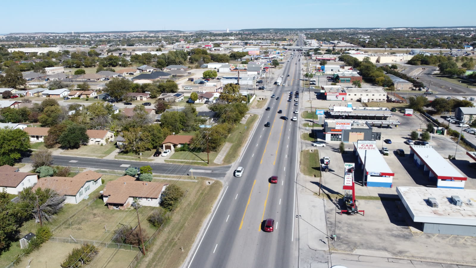
© 2026 Ceezaer™ Drone Services. This article was written and published by Ceezaer (ceezaer.com). All rights reserved — reproduction or republication without written permission is prohibited. Original URL: https://ceezaer.com/blog/drone-construction-progress-reports-general-contractors
Goes deeper on the tracking data that feeds a progress report.
The broader monitoring framework these reports fit inside.
Quantifies the payback that progress reporting delivers.