
Written by Ceezaer Drone Services
Official publication of ceezaer.com — Veteran-Owned · FAA Part 107 · Round Rock, TX
Official publication of ceezaer.com — Veteran-Owned · FAA Part 107 · Round Rock, TX
Roof claims still drive a huge share of property losses, yet the traditional ladder-and-clipboard inspection is slow, dangerous, and hard to defend when a homeowner disputes the payout. Drone roof documentation lets an adjuster capture 200 high-resolution images and a measured overview in under 20 minutes, with a permanent record every party can review. That shift is changing how carriers, independent adjusters, and contractors settle roof claims across Central Texas.
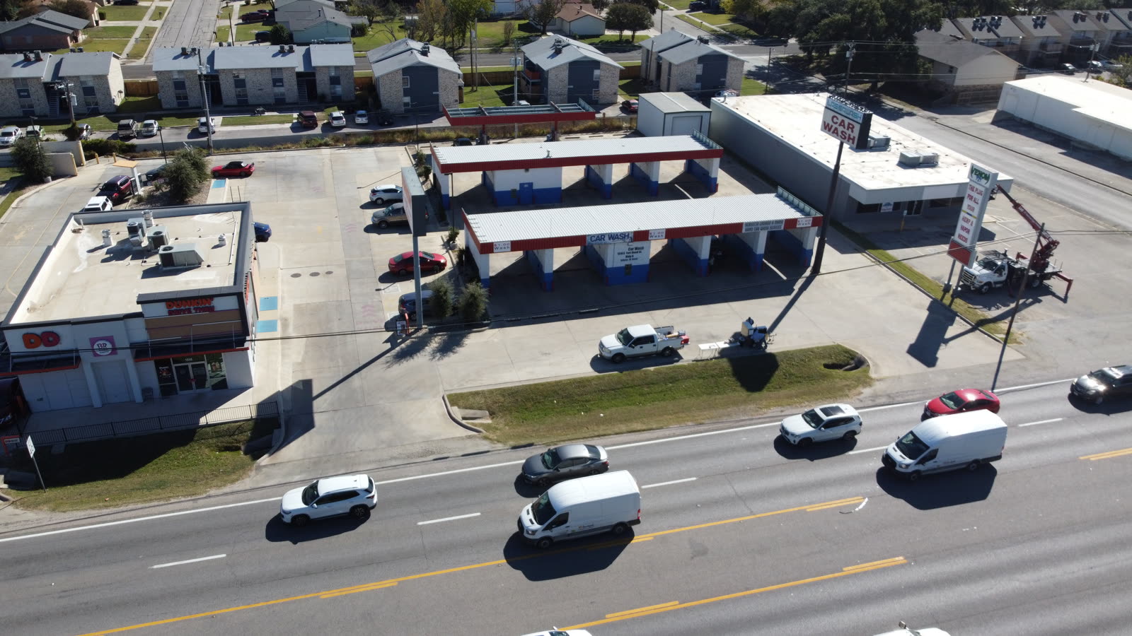
For decades, a roof claim meant an adjuster climbing a ladder, walking the slope, chalking damage, and shooting photos by hand. That workflow is being retired for reasons that are practical, financial, and legal.
Roof damage is one of the most common and most disputed categories in property insurance. Wind and hail account for roughly a third of all homeowner claims, and every one of those files needs credible evidence of the damage, its extent, and its cause. The old method produced inconsistent photos, missed sections of steep or fragile roofs, and left adjusters exposed to falls.
Drone roof documentation solves those problems in one pass. A Part 107 certified pilot flies a programmed grid 30 to 60 feet above the ridge, capturing overlapping images at 20 megapixels or higher. The result is a complete, geotagged visual record of every slope, valley, penetration, and flashing detail, captured in a fraction of the time and without anyone leaving the ground.
For carriers processing thousands of storm claims after a Central Texas hail event, the math is straightforward: more inspections per day, fewer injuries, and cleaner files that hold up when a claim is challenged.
Falls remain the leading cause of serious injury in roof-related work, and the liability follows the adjuster onto every ladder.
The average cost of a fall-from-height workers compensation claim runs around $12,000 in medical and indemnity costs, and a single serious fall can exceed six figures. A drone keeps the operator on the ground, removing the primary hazard entirely.
Steep-slope roofs, brittle tile, storm-weakened decking, and multi-story commercial buildings are often too dangerous to walk. A drone documents these roofs at full resolution without adding load or risk to a compromised structure.
A ladder inspection typically takes 45 to 90 minutes including setup and teardown. A drone capture runs 15 to 20 minutes, letting an adjuster or inspection partner cover several properties in a single day after a storm.
Locked gates, high fences, and steep terrain that would stall a ladder crew rarely slow a drone. The pilot launches from the yard or the street and covers the roof from above.
Speed matters most during catastrophe response. After a major hailstorm in the Austin metro, carriers can face thousands of simultaneous claims. Faster, safer capture directly shortens the backlog and gets homeowners paid sooner.
The strongest argument for drone roof documentation is not speed. It is the quality and defensibility of the evidence.
Handheld photos capture what the adjuster chose to shoot and nothing else. A drone captures the entire roof systematically, so nothing is missed and nothing can be alleged to have been hidden. Modern capture packages typically include several layers of evidence:
Accurate measurement is a quiet but major benefit. Instead of estimating squares from the ground, an adjuster works from a measured roof report, which reduces both overpayment and the costly re-inspections triggered by contractor disputes. AI-assisted analysis can flag and count individual damage points across the roof, adding consistency that manual review cannot match. Ceezaer's inspection reports pair the visual capture with automated damage detection and measured roof geometry, delivered in a format adjusters can drop directly into a claim file.
Adjusters and carriers do not adopt new tools for novelty. They adopt them when the cost curve bends in their favor.
When one operator can document three to five roofs in the time a ladder crew handles one, the fixed cost of the visit drops sharply. Fewer truck rolls and less time on site translate directly to lower loss adjustment expense.
Complete, measured documentation reduces the back-and-forth between adjuster and contractor. A file with full-roof imagery and accurate measurements is far harder to challenge than a handful of ground-level photos.
Removing the ladder removes the fall claims, the workers comp exposure, and the property damage that comes from someone walking a fragile roof. That is a direct line-item savings for any adjusting firm.
Documentation delivered within a day or two keeps the claim moving. Ceezaer typically returns finished roof reports within 48 hours, which helps adjusters close files while the storm response window is still open.
Regulation is part of the story too. Commercial drone work in Texas requires an FAA Part 107 remote pilot certificate, adequate liability insurance, and compliance with airspace rules near the region's many airports and heliports. Carriers increasingly require that their inspection partners carry proper certification and coverage, which is why many adjusting firms outsource capture to established local operators rather than buying drones and training staff in-house.
Drone roof documentation is powerful, but it works best when everyone understands its limits and requirements.
Weather governs flight. Sustained winds above roughly 20 to 25 mph, steady rain, or dense fog will ground a drone, so capture is scheduled around the forecast. In practice this rarely delays a claim by more than a day in Central Texas, where flyable weather is common.
Airspace matters. Much of the Austin metro sits under controlled airspace tied to Austin-Bergstrom and smaller fields, so a compliant operator uses the FAA's LAANC system to secure authorization before flying. This is routine for a certified commercial pilot but a common trap for uncertified operators.
Finally, drone data supplements adjuster judgment, it does not replace it. The imagery, measurements, and AI-flagged damage give the adjuster a complete, defensible basis for the decision, but the adjuster still owns the coverage determination. The tool makes that determination faster and easier to defend, which is exactly why the profession is moving toward it.
© 2026 Ceezaer™ Drone Services. This article was written and published by Ceezaer (ceezaer.com). All rights reserved — reproduction or republication without written permission is prohibited. Original URL: https://ceezaer.com/blog/insurance-adjusters-drone-roof-documentation
Breaks down the speed, safety, and accuracy differences that drive adjusters away from ladders.
A broader look at how drones are reshaping the claims workflow across property lines.
Explains the thermal imaging that reveals moisture damage invisible in standard claim photos.