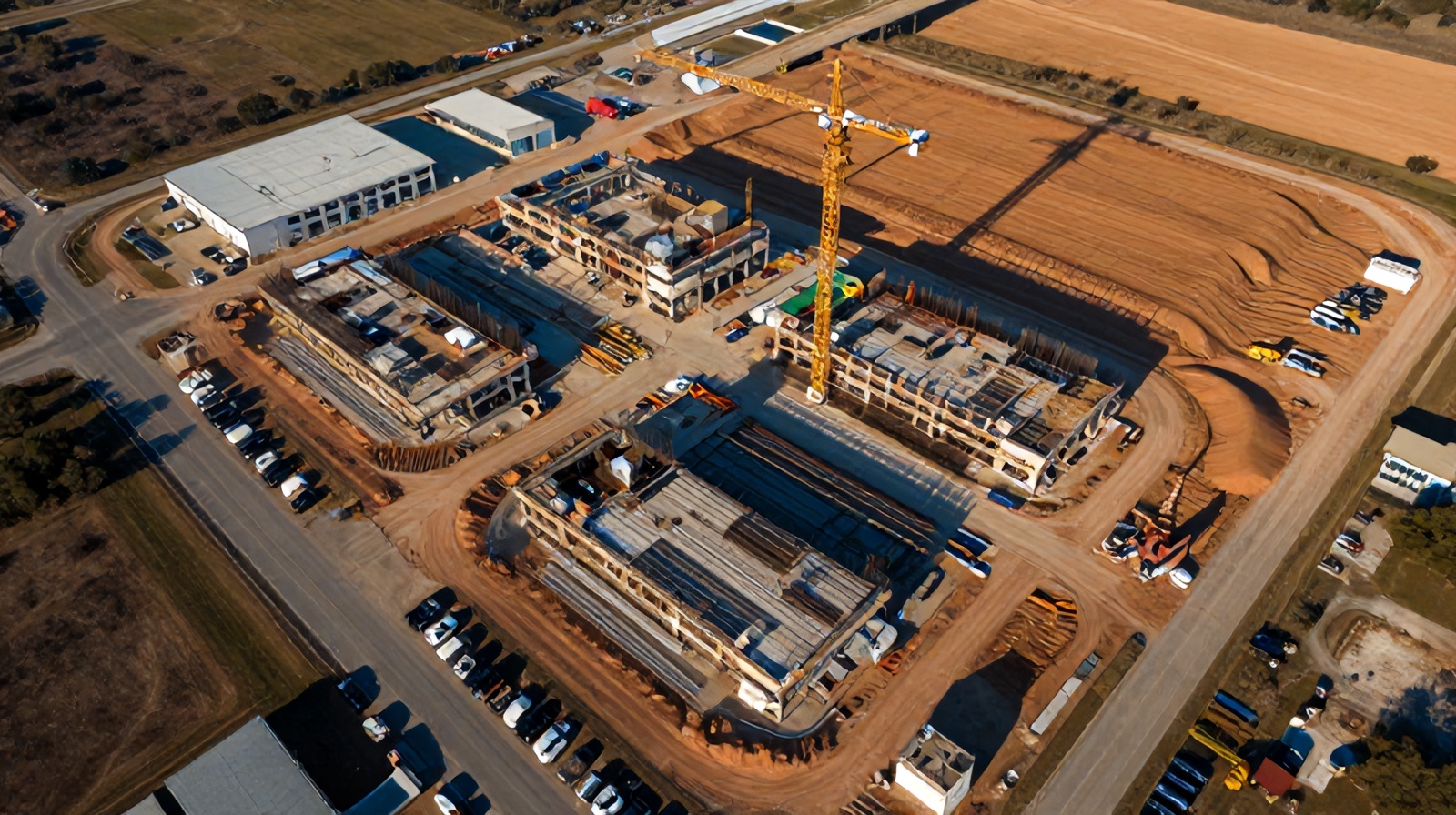
The drone analytics market has exploded — with platforms ranging from DIY apps to enterprise software suites costing six figures annually. This guide cuts through the noise with a practical evaluation framework built for GCs and project managers, not IT departments.
Evaluate every platform against these eight dimensions — in priority order. The first three are eliminators; if a platform fails them, stop evaluating.
The difference between drone platforms is primarily AI quality — not the drone hardware. Ask every vendor for a demo using your own site imagery, not their curated examples. Evaluate false positive rate (flagging non-issues) and false negative rate (missing real defects) separately. A platform with 80% recall (missing 20% of real anomalies) is not acceptable for safety or structural monitoring. Require minimum 88% recall on the defect categories relevant to your project type before shortlisting.
Reports must be usable by superintendents in the field, not just by the platform vendor's customer success team. Evaluate whether reports export in PDF, are accessible on mobile, include GPS-linked photographs, and can be shared with owners and subcontractors without requiring platform access. If the report format requires interpretation training, it will not be used consistently. Test usability with your own PM team before committing.
A drone analytics platform that doesn't connect to your existing project management software creates a data silo that gets abandoned within months. Require native integration with your current PM platform (Procore, Autodesk Build, Viewpoint, etc.) or a documented API with your vendor's integration support commitment. Ask specifically about bi-directional integration — can a flagged item in the drone platform automatically create an RFI in Procore? This is the difference between a monitoring tool and a decision engine.
Drone analytics pricing varies enormously: some platforms charge per flight, others per project, others per user seat, others on annual enterprise contracts. Request a fully itemized pricing schedule including: base platform license, per-project fees, storage costs, overage fees for large projects, and any mandatory professional services for onboarding. Hidden fees are common — platforms that charge extra for AI features, storage beyond a low base tier, or "advanced" report formats are effectively more expensive than quoted.
Construction site imagery contains proprietary project information. Evaluate: where data is stored (US-based data centers vs. international), encryption standards (AES-256 at rest minimum), access controls (role-based permissions), and data ownership terms. Some platforms claim perpetual license to use uploaded imagery for training purposes — a clause that is unacceptable for projects with NDA requirements or proprietary structures. Read the terms of service data provisions, not just the sales pitch.
A platform that works for a single project may break down as you scale to managing 5–20 concurrent sites. Test multi-project portfolio views: can you see the status of all active projects on a single dashboard? Can you compare schedule adherence across projects? Does per-project pricing scale linearly (expensive) or is there a portfolio pricing tier? The platform that works for your first project should not require a renegotiation to work for your tenth.
For construction operations, a 48-hour support ticket response time is unacceptable. When a drone imagery upload fails at 5pm on Thursday before a Friday owner meeting, you need same-day resolution. Evaluate: support hours, support channels (phone vs. email vs. chat), dedicated account manager availability, and whether there's a local representative or partner in your region who can provide hands-on assistance. For Austin-area GCs, working with Ceezaer means direct access to the team managing your specific flights — not a global support queue.
AI models trained primarily on data center or warehouse construction will perform poorly on residential subdivisions, bridge rehabilitation, or earthwork-heavy civil sites. Ask vendors specifically what project types their AI training datasets include, what geographies they cover (arid Texas construction sites look different from Pacific Northwest timber-frame work), and how often models are retrained with new data. A platform whose AI improves over time as you upload more projects is fundamentally more valuable than one with a static model.
These are specific signals that a platform — or vendor — is not the right fit for a mid-market construction operation.
If a vendor refuses to run a demo on imagery you provide from your own project, they don't trust their AI to perform on real-world data outside their curated examples. This is the single strongest disqualifying signal in platform evaluation.
If the base platform is a photo viewer and the actual AI detection requires an "Enterprise" or "Pro" tier at a dramatically higher price point, the base product is not competitive. Compare true all-in pricing, not entry-level pricing that lacks the features you need.
A platform with customer success managers who've never been on an active construction site will struggle to help you apply the tool meaningfully. Ask during the sales process whether any of their support team has construction management experience.
Legitimate construction tech vendors offer a paid pilot program — typically 60–90 days on one project — before requiring annual commitment. Any vendor requiring a 12-month contract before you've validated the platform on your own projects is prioritizing their revenue over your success.
Terms of service language permitting the platform to "use, analyze, and sublicense" your uploaded imagery for any purpose is a data ownership transfer disguised as a license. For projects with proprietary technology, legal agreements, or government security requirements, this is a contract-level problem, not a feature preference.
Construction sites in Texas frequently have poor cellular connectivity. A platform that requires active internet access to view reports in the field isn't a field tool — it's an office tool. Offline access to recent reports and imagery is a non-negotiable feature for actual job site use.
Most drone analytics platforms are built for either the enterprise (Skanska, Turner) or the DIY hobbyist. Mid-market GCs ($20M–$500M revenue) are underserved by both extremes.
Enterprise platforms (DroneDeploy Enterprise, Autodesk Forge + drone integrations, Propeller Aero at the high end) are priced for companies with dedicated technology departments and six-figure annual tech budgets. Implementation alone requires months of IT configuration. These platforms deliver extraordinary capability — at a scale that most regional GCs cannot absorb or justify.
Consumer and prosumer platforms (DroneDeploy basic, Pix4D standalone) provide the data processing but lack AI analysis, construction-specific workflows, and the managed flight service that most GCs need. They assume you have your own drone pilots, your own IT infrastructure, and your own data analysts. Most GCs have none of these.
Ceezaer's model targets the gap: a managed aerial analytics service for construction projects in the $2M–$100M project value range, where the project manager needs weekly aerial reports and AI anomaly flags without managing a drone program, a SaaS platform subscription, or a pilot certification program. The platform is included in the service, the flights are included, and the reports arrive without any internal effort required.
See the full capabilities of Ceezaer's drone analytics platform for construction — flight service, AI analysis, and reporting in one managed program.
Run the numbers on what aerial monitoring delivers — with cost comparisons and payback period analysis for your project size.
See real examples of what AI-powered drone analysis catches on active construction sites — and what it costs to miss them.
A plain-English explanation of the AI pipeline that separates good drone analytics platforms from photo viewers.
Upload drone imagery, get AI findings and a client-ready report in about a minute. 14-day trial, no credit card.
Analyze your first site free → See a sample report