Drone Mapping & Aerial Intelligence — Austin, TX
Site data your team can act on. Orthomosaics, elevation models, and reports delivered within 48 hours.
Who We Are
Site decisions stall when the data is old, scattered, or hard to read. Ceezaer is a veteran-owned aerospace technology company serving Austin, Round Rock, and Central Texas. We turn aerial data into actionable intelligence: FAA Part 107 certified flight operations capture your site, and you receive survey-ready deliverables within 48 hours. Captured data can also flow into the Ceezaer Aerial Intelligence Platform — cloud projects, AI analysis, automated reports, and client share portals — so every stakeholder works from the same source of truth. Platform plans start at $99/mo with a 14-day free trial.
Why Drone Mapping Saves Money
Practical Advantages
- Faster site documentation vs. manual methods
- Fewer site visits and reduced labor costs
- Better progress tracking and reporting
- Improved planning and communication across stakeholders
- Early detection of issues (grade, stockpiles, layout)
- Verifiable records for dispute resolution and compliance
Mapping Services
What We Offer
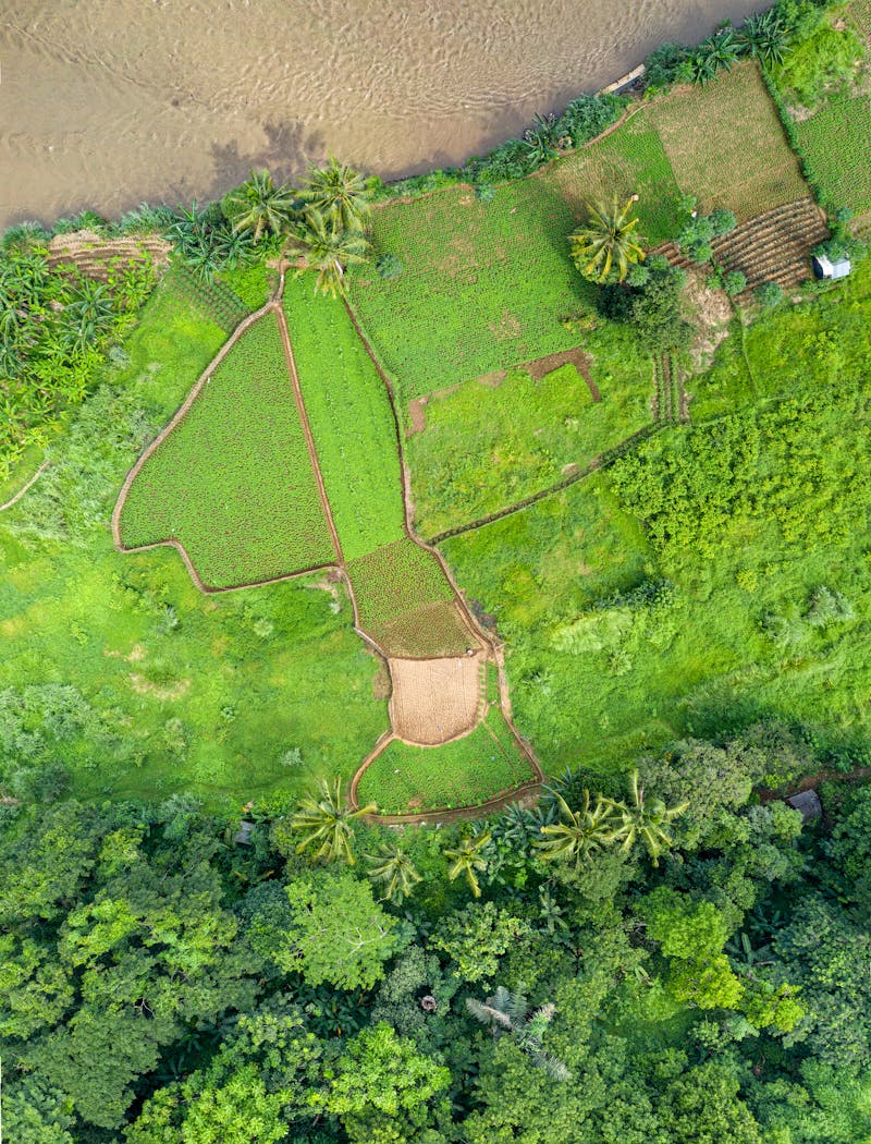
Small Property (5–20 acres)
Orthomosaic and elevation data for smaller parcels, lot surveys, and land assessments.
Residential Development Site
Site documentation for residential builders, including grading verification and progress tracking.
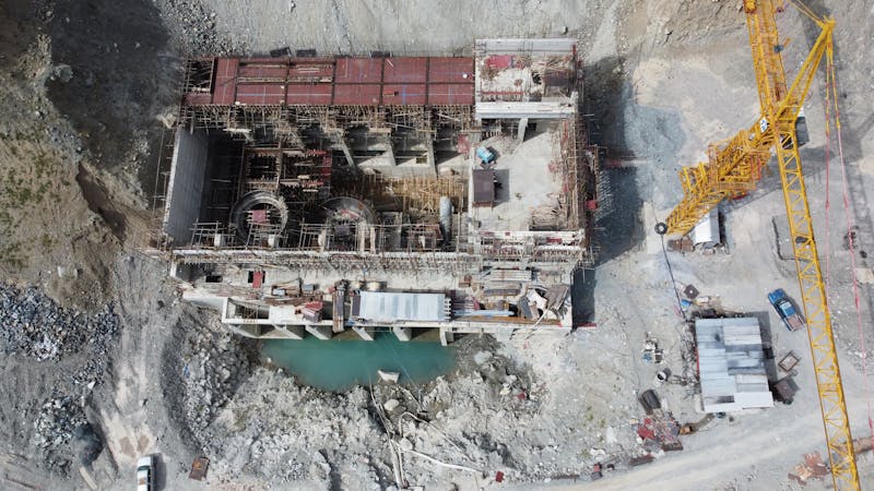
Construction Progress Map
Recurring aerial mapping to document construction phases, compare against plans, and report to stakeholders. AI progress and change-detection analysis available on the platform.
Roof / Solar Mapping
Detailed roof measurements and surface models for solar planning and roofing assessments. AI roof and solar analysis available on the platform.
Large Commercial Development
Comprehensive mapping for large-scale commercial projects, master plans, and multi-phase developments.
Industrial Inspection Mapping
Aerial inspection data for industrial facilities, infrastructure, and utility corridors.
Engineering-Grade Topo Maps
High-accuracy topographic data with ground control for engineering and design workflows.
Standard Deliverables
Every Mapping Project Includes
- ✓ Orthomosaic map
- ✓ Elevation model
- ✓ Volume calculation (if applicable)
- ✓ Branded PDF report
- ✓ 48-hour turnaround
Sample Deliverables
Preview Examples


Ready to Map Your Site?
Get survey-ready aerial data and a branded report within 48 hours — and keep every mission organized in the Ceezaer platform.
Schedule Site AssessmentPrefer email? Contact: info@ceezaer.com