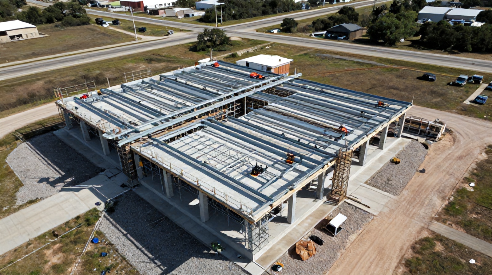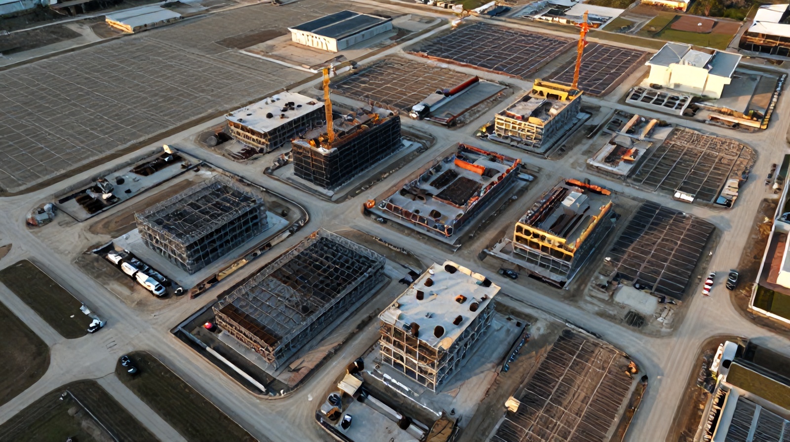
Regular drone captures create living 3D models that track construction progress in real time, expose clashes before they cost you, and give stakeholders unprecedented transparency into every phase of your build. Here is the complete technical and business picture.
The term "digital twin" has been applied loosely across industries. Here is what it specifically means for active construction and why drone data is the practical enabler.
A digital twin is a dynamic, data-connected virtual replica of a physical asset or process. Unlike a static 3D model — a BIM model represents design intent, not current site conditions — a true digital twin is continuously updated with real-world data, changing as its physical counterpart changes. For a construction project, this means the 3D model in your project portal reflects what was actually built this week, not what was designed two years ago.
The concept of digital twins in construction has existed theoretically for decades. What changed in the last five years is the economics and practicality of the data capture required to keep them current. Terrestrial laser scanning produces extremely accurate 3D data but costs $5,000–$20,000 per site visit and requires specialized operators. Drone photogrammetry produces near-equivalent accuracy at 5–10% of the cost, with automated flight programming that enables weekly updates without manual re-setup — making continuous digital twin maintenance economically viable for the first time on standard commercial construction projects.
Represents design intent. Accurate at design completion. Diverges from reality as construction proceeds. Cannot answer "what does the site look like today?" Requires expensive manual as-built surveys to update.
Represents as-built reality. Updated weekly with drone data. Can answer "what is the precise current state of any area of the site?" Captures deviations from design before they become costly problems.
The key distinction is the automated comparison layer. A digital twin ingests fresh drone data, reconciles it against the design model, and surfaces deviations and clashes automatically — closing the design-to-reality loop every week.
The photogrammetry pipeline that converts overlapping drone images into georeferenced 3D models — step by step.
A mission is pre-programmed with defined altitude, overlap percentage (typically 75–85% front-lap, 65–75% side-lap), and ground sampling distance (GSD). For most commercial construction sites, a GSD of 1–2 cm/pixel provides sufficient detail for clash analysis without producing files too large to process efficiently. Grid-pattern flights at 80–90% image overlap capture the site from above. Oblique passes at 45–60° camera angle capture vertical faces of structures in progress — essential for buildings rising above two stories. A comprehensive mapping mission over a 2-acre construction site takes 20–30 minutes of flight time and produces 800–1,500 individual images.
Surveyed GCPs placed across the site before the flight establish absolute positional accuracy. With well-distributed GCPs (minimum 5, ideally 8–12 for large sites) and a precision GNSS receiver, drone photogrammetry achieves horizontal accuracy of ±1–2 cm and vertical accuracy of ±2–5 cm. This is equivalent to or better than the accuracy of conventional total station surveys for most construction applications, and is sufficient for comparing as-built structural elements against BIM geometry and for volumetric quantity tracking.
SfM algorithms identify thousands of common feature points across overlapping images and use their relative positions to calculate 3D coordinates simultaneously — producing a sparse point cloud. Dense stereo matching algorithms then generate the full point cloud: 50 to 500 million georeferenced XYZ color points for a large commercial site. Software such as Agisoft Metashape, Pix4Dmapper, or DJI Terra performs this computation in cloud environments, eliminating the need for local high-performance workstations.
The point cloud is converted to a textured mesh model — a continuous surface of connected triangles with photographic texture mapped onto it. Mesh models are smaller files than raw point clouds, render faster in browser-based collaboration platforms, and are more compatible with BIM comparison workflows. Simultaneously, a georeferenced orthomosaic (2D map accurate enough for measurement) is produced. Both deliverables serve different but complementary purposes in the digital twin workflow.
The georeferenced point cloud or mesh is imported into a BIM comparison platform where it is overlaid against the design model. Change detection algorithms identify areas where the as-built geometry deviates beyond a user-defined tolerance (typically ±5 cm for structural elements). Each deviation is flagged as an issue within the project management system, assigned to the responsible party, and tracked to resolution. Temporal stacking of weekly captures — all registered to the same coordinate system — creates the time-series 3D archive that defines a true construction digital twin.
Both outputs derive from the same photogrammetry process but serve different downstream purposes. Understanding the tradeoffs is essential when specifying deliverables from your drone provider.
For most construction digital twin workflows, you want both: a point cloud for the engineering team performing precise analysis, and a mesh model hosted on a collaboration platform that project managers, owners, and subcontractors access without specialized software.
Design-phase clash detection overlays MEP models against structural models — but it cannot catch field-installed deviations. Ductwork run 6 inches off its designed path to avoid an existing obstruction, conduit rerouted for another trade, or concrete poured slightly out of tolerance: these field clashes are invisible until the next trade arrives and discovers it cannot install its components.
By comparing a fresh drone-captured point cloud against the current BIM model, project teams identify field-installed elements that will conflict with upcoming work — before that work is scheduled. Projects using drone-to-BIM comparison have documented clash identification rates of 3 to 12 clashes per floor on complex commercial builds, each of which, if caught in the field by the next trade, typically costs $5,000 to $50,000 to resolve depending on what needs to be moved.
Traditional quantity tracking relies on superintendent estimates, subcontractor self-reporting, and periodic surveyor visits — all of which introduce significant lag and variability. Drone-generated point clouds enable automated quantity measurement: how much concrete has been poured, how much formwork is in place, how much structural steel has been erected. Comparing sequential point clouds, AI models calculate quantities installed between two capture dates with accuracy sufficient for pay application validation. For earthwork projects, drone volume calculations replace monthly surveyor visits for cut/fill tracking and stockpile inventory, with typical accuracy of ±1–3% of volume.
Project owners and investors typically receive progress information through summary reports, superintendent updates, and scheduled site visits — all filtered and subject to selective presentation. A digital twin with a web-accessible interface changes this dynamic entirely. Owners can view the current as-built state of their project from any browser, compare it against the schedule baseline, review flagged deviations, and examine time-lapse progress across the full construction duration. This transparency creates accountability at every level. Several large institutional real estate developers now require digital twin access as a contract condition for general contractors bidding on their projects.
Final punchlist completion — walking every inch of a project to document deficiencies — is one of the most time-intensive phases of construction. Teams often discover items that should have been addressed months earlier, leading to return visits, subcontractor mobilizations, and closeout delays that eat directly into profit margin. A maintained digital twin provides a running record of every area of the site at every stage. AI-powered comparison identifies areas where final finishes do not match specification, allowing punchlist items to be surfaced and addressed progressively rather than in a last-minute rush. Projects with active digital twin programs complete punchlist processes 20–35% faster than those relying solely on closeout walkthroughs.
The drone-to-digital-twin workflow depends on software that can ingest point cloud and mesh data, overlay it against BIM models, and surface deviations through familiar project management interfaces.
Autodesk's cloud platform accepts point clouds and mesh models via Autodesk Recap. BIM 360 Model Coordination overlays the processed capture against Revit models for automated clash checking. Issues are tracked natively within the platform and linked to the responsible subcontractor. Austin-area contractors already using Autodesk for design will find the integration largely seamless — drone data flows directly into their existing project environment.
Procore's open API ecosystem connects to drone data platforms including DroneDeploy and Propeller Aero. Drone captures sync directly to the Procore project, linking photos, orthomosaics, and 3D models to specific tasks and schedule locations. RFIs and observations raised from drone data are created and tracked within Procore — the same environment the team already uses daily. No context-switching required.
DroneDeploy's end-to-end platform handles flight planning, automated cloud processing, and a web-based 3D viewer with BIM overlay capabilities. Its AI-powered progress tracking module compares sequential captures to identify installed quantities and schedule variance automatically. Strong native integrations with Procore, Autodesk, and Trimble make it a popular choice for mid-to-large general contractors on Texas commercial projects.
Autodesk's dedicated digital twin platform for AEC, enabling connection of design data, IoT sensor data, and drone scan data into a single living asset model. Designed for both construction phase and post-occupancy facility management. Particularly powerful when the project has a long-term FM handoff requirement — the digital twin built during construction becomes the operational foundation for the building's entire life cycle.
Digital twin programs require upfront investment in software platforms, drone service contracts, and workflow integration. The return comes from several measurable sources.
For a $20M commercial project, a comprehensive drone digital twin program typically costs $8,000–$15,000 over the project duration. Conservative ROI estimates from documented case studies range from 5:1 to 15:1 when all value streams are captured.
Capture frequency should match the pace of construction and the decisions being made. For active vertical construction phases, weekly captures are generally most useful — they allow schedule comparison on a consistent cadence and catch deviations before the next phase begins. During slower phases like site preparation or final finishes, biweekly or monthly captures are typically sufficient. The key rule: never let the interval between captures exceed the time it would take to reverse a deviation if one were found.
With properly surveyed ground control points and a quality drone equipped with a precision camera, drone photogrammetry achieves horizontal accuracy of ±1–2 cm and vertical accuracy of ±2–5 cm. This is equivalent to or better than the accuracy of conventional total station surveys for most construction applications. For sub-centimeter accuracy requirements — precise deformation monitoring of structural elements, for example — drone-mounted LiDAR or terrestrial laser scanning may be preferable.
For basic progress documentation and orthomosaic deliverables, BIM access is not required. For BIM overlay and automated deviation detection, the drone processing platform needs access to IFC or native model files. Most modern construction platforms handle this through secure cloud sharing with defined permission levels. Alternatively, your digital twin platform can hold the BIM and simply ingest the drone data — your provider never needs direct access to source files.
Data ownership should be explicitly addressed in your drone services contract. Standard industry practice is that the client (project owner or GC) owns all deliverables — orthomosaics, point clouds, mesh models, and processed reports. The drone provider may retain raw image files for a defined period for reprocessing if needed. Ensure your contract specifies that raw data is also deliverable upon project closeout, as it may be needed for future building modifications, insurance claims, or legal documentation.
Yes. LEED documentation benefits from drone-captured progress records showing material delivery, waste management areas, and construction sequencing. Digital twin data supports several LEED credit categories including Construction Activity Pollution Prevention and Construction Waste Management. Additionally, thermal drone data captured during commissioning can document building envelope performance as part of energy and atmosphere credits.
Everything project managers need to implement a drone monitoring program from day one.
Accuracy, method, and cost savings for cut/fill and stockpile surveys.
How AI converts drone data into automated progress tracking and anomaly detection.